Uja Tirche

Map
Facts and practical information
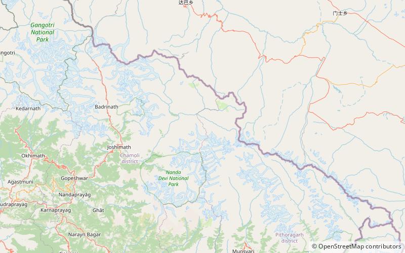
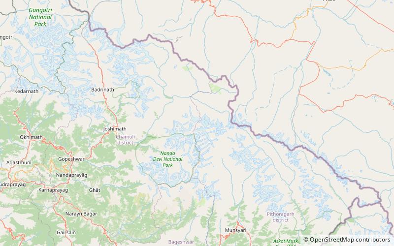
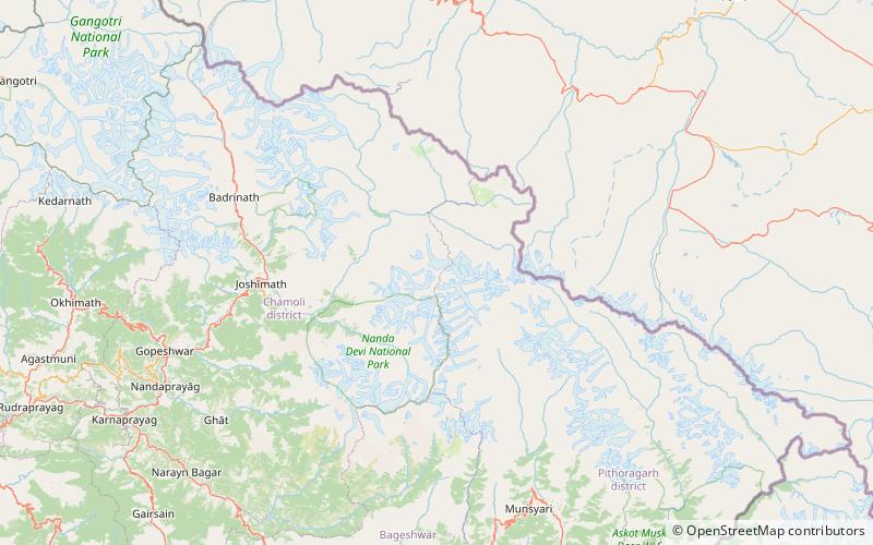
Uja Tirche is a peak close to the Tibetan border in the Nanda Devi group of the Kumaon/Garhwal Himalaya. It was first climbed in 1937 by Lieutenant R C A Edge, with a surveying party from the Survey of India. ()
First ascent: 1937Elevation: 20348 ftCoordinates: 30°38'56"N, 80°0'51"E
Location
Uttarakhand
ContactAdd
Social media
Add
Day trips
Uja Tirche – popular in the area (distance from the attraction)
Nearby attractions include: Tirsuli, Tirsuli West.

