Manjakkal, Mahé, India

Map
Facts and practical information
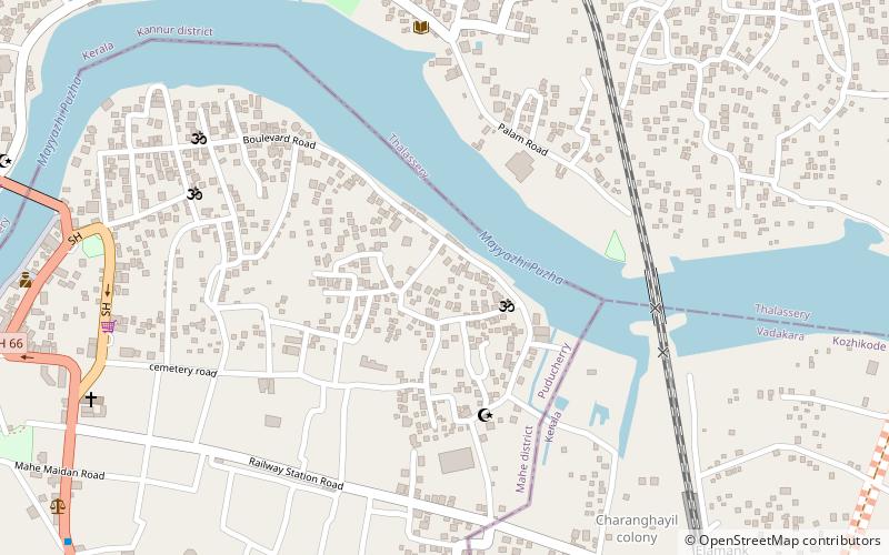
Manjakkal is a ward of Mahé municipality. It forms a part of the enclave Mahe district of Puducherry in India. ()
Coordinates: 11°42'18"N, 75°32'30"E
Address
Mahé, India
ContactAdd
Social media
Add
Day trips
Manjakkal – popular in the area (distance from the attraction)
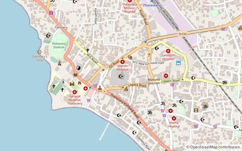
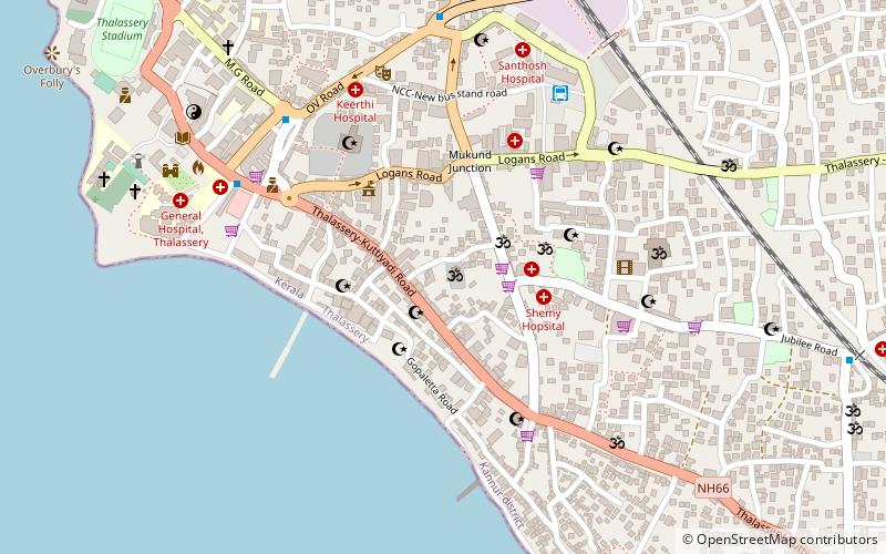
Nearby attractions include: Thalassery Fort, Overbury's Folly, Thiruvangad Sree Ramaswami Temple, Jagannath Temple.
Frequently Asked Questions (FAQ)
Which popular attractions are close to Manjakkal?
Nearby attractions include St. Teresa's Shrine, Mahé, India (11 min walk), Mahe lighthouse, Mahé, India (21 min walk).


