Dhantoli, Nagpur
Map

Map

Facts and practical information
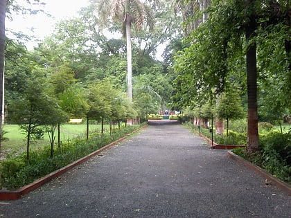
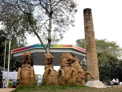
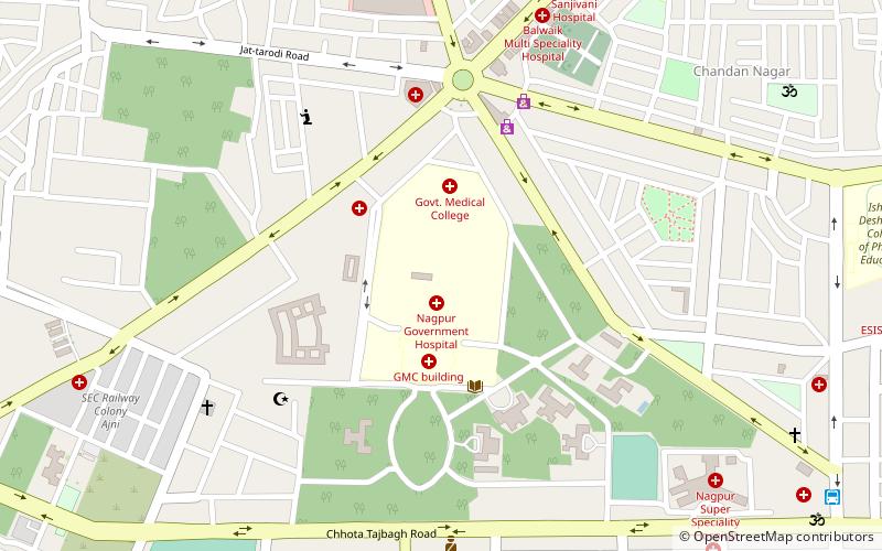
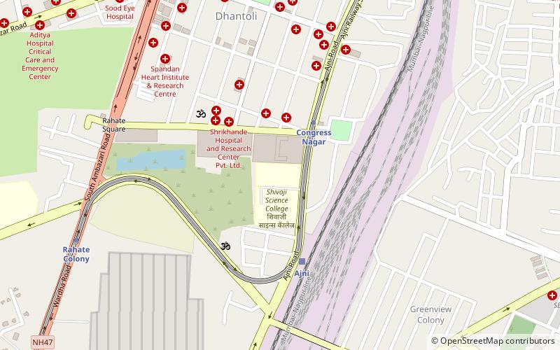
Dhantoli is located in Nagpur, Maharashtra, India. It is densely populated. It is home to a large number of hospitals and other establishments. Initially Dhantoli was the home to Booty the Treasurer of Raja of Nagpur and Marathi Brahmins. Later in the 1950s it became home many Bengali and Maithili Brahmins making it the home to Nagpur's Famous Ram Krishna Mission and Kali Temple. It also has the famous Sai Baba Temple which is near the Iconic Major Surender Deo Park.This area is considered to be the best residential area in the city. ()
Coordinates: 21°8'2"N, 79°4'50"E
Address
Nagpur
ContactAdd
Social media
Add
Day trips
Dhantoli – popular in the area (distance from the attraction)
Nearby attractions include: Deekshabhoomi, Maharajbagh Zoo, Zero Mile, Shukrawari Lake.
Frequently Asked Questions (FAQ)
Which popular attractions are close to Dhantoli?
Nearby attractions include Tilak Vidyalaya, Nagpur (3 min walk), Dhanwate National College, Nagpur (9 min walk), Maharajbagh Zoo, Nagpur (19 min walk), Leartigiano Art Gallery Nagpur, Nagpur (22 min walk).
How to get to Dhantoli by public transport?
The nearest stations to Dhantoli:
Metro
Train
Bus
Metro
- Congress Nagar • Lines: Orange Line (7 min walk)
- Jhasi Rani Square • Lines: Aqua Line (13 min walk)
Train
- Ajni (13 min walk)
Bus
- Sitabuldi City Bus Stand (16 min walk)
- Nagpur Main Bus Stand (28 min walk)


