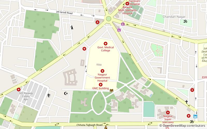
Government Medical College, Nagpur

Map
Facts and practical information
Established: 1947 (79 years ago)Coordinates: 21°7'40"N, 79°5'50"E
Day trips
Government Medical College – popular in the area (distance from the attraction)
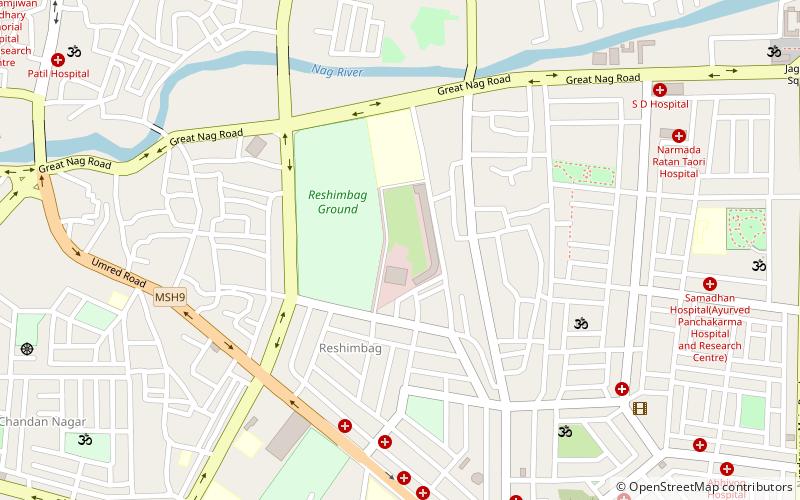
Nearby attractions include: Hedgewar Smruti Mandir, Ganesh Peth, Dhanwate National College, Dhantoli.
Frequently Asked Questions (FAQ)
How to get to Government Medical College by public transport?
The nearest stations to Government Medical College:
Bus
Metro
Train
Bus
- Bus Stop (15 min walk)
- Nagpur Main Bus Stand (20 min walk)
Metro
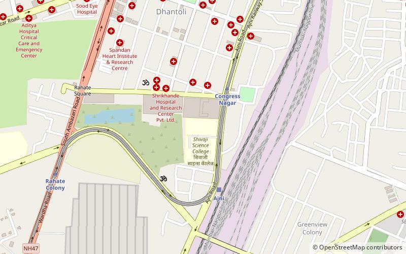
- Congress Nagar • Lines: Orange Line (25 min walk)
- Sitabuldi • Lines: Aqua Line, Orange Line (35 min walk)
Train
- Ajni (25 min walk)


