Shalimar Gardens, Delhi
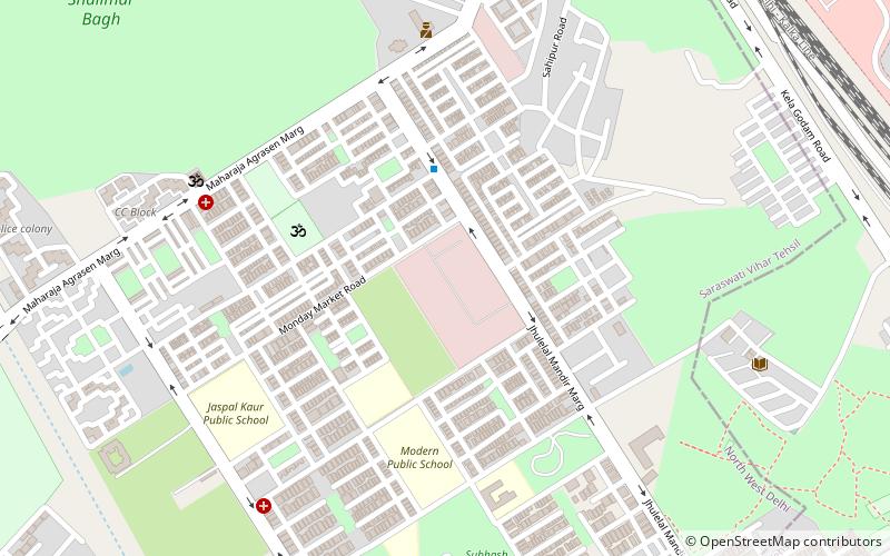
Map
Facts and practical information
Shalimar Bagh also known as Shalimar Garden is a Mughal garden located on the banks of Yamuna river in Delhi, India. It was named as Aizzabad Bagh when the garden was laid by Izz-un-Nissa wife of Mughal emperor Shah Jahan in 1653 AD as a tribute and replica of Shalimar Bagh, Kashmir laid by erstwhile Mughal emperor Jahangir in 1619 AD, the Shalimar Bagh of Delhi is now abandoned but still houses shade trees, majestic parterre and structure such as Sheesh Mahal and the garden pavilion. ()
Elevation: 719 ft a.s.l.Coordinates: 28°42'46"N, 77°9'27"E
Getting there by public transportation
Public transportation stops near this location
- Metro
- Bus
- Train
 Metro
Metro
- Calculate routeAdarsh Nagar 16 min walk
- Calculate routeAdarsh Nagar 21 min walk
- Calculate routeShalimar Bagh 23 min walk
- Calculate routeJahangirpuri 25 min walk
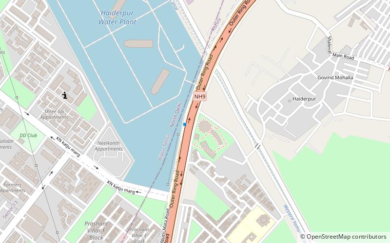
- Calculate routeHaiderpur 33 min walk
- Calculate routeRichi Rich 23 min walk
- Calculate routeAshok Vihar Crossing 23 min walk
- Calculate routeShalimar Bagh Crossing 25 min walk
Maps Metro
Metro
MetroDay trips


Frequently Asked Questions (FAQ)
How to get to Shalimar Gardens by public transport?
The nearest stations to Shalimar Gardens:
Train
Metro
Bus
Train
- Adarsh Nagar (16 min walk)
Metro
- Adarsh Nagar • Lines: Yellow Line (21 min walk)
- Shalimar Bagh • Lines: Pink Line (23 min walk)
Bus
- Richi Rich • Lines: (-) Tms (23 min walk)
- Ashok Vihar Crossing • Lines: (-) Tms (23 min walk)