Metro Walk, Delhi
Map
Facts and practical information
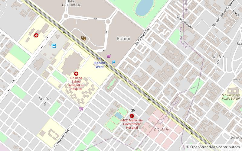
Metro Walk is an open shopping mall which includes Adventure Island as an amusement park located in Rohini, Delhi, India. ()
Coordinates: 28°42'50"N, 77°7'1"E
Getting there by public transportation
Public transportation stops near this location
- Metro
- Bus
 Metro
Metro
- Calculate routeRohini West 3 min walk
- Calculate routeRohini East 18 min walk
- Calculate routeRithala 20 min walk
- Calculate routePitam Pura 31 min walk
- Calculate routeRohini DTC Depot 9 min walk
- Calculate routeSaraswati Vihar 28 min walk
- Calculate routeDeepali Chowk 28 min walk
- Calculate routePitampura 29 min walk
Maps Metro
Metro
MetroDay trips


Frequently Asked Questions (FAQ)
How to get to Metro Walk by public transport?
The nearest stations to Metro Walk:
Metro
Bus
Metro
- Rohini West • Lines: Red Line (3 min walk)
- Rohini East • Lines: Red Line (18 min walk)
Bus
- Rohini DTC Depot (9 min walk)
- Saraswati Vihar • Lines: (+) Oms (28 min walk)