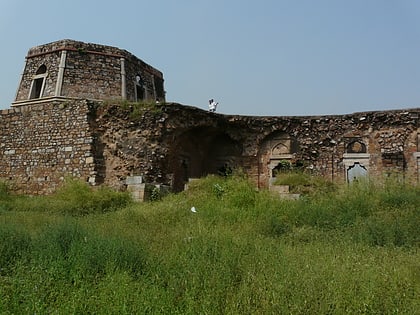
Jahanpanah City Forest, Delhi
Map
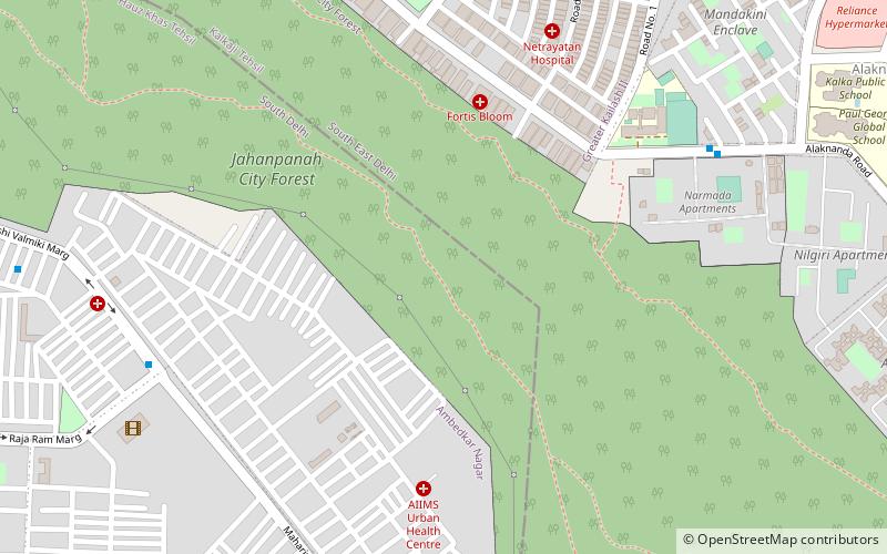
Map

Facts and practical information
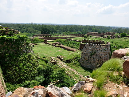
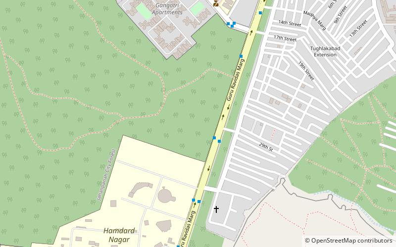
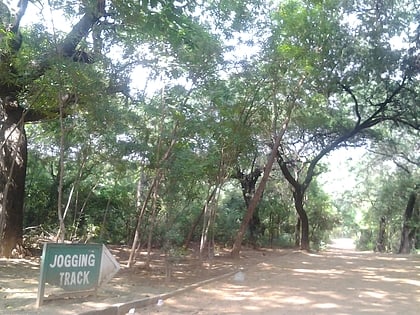
Jahanpanah City Forest is located in South Delhi. It is one of the dense forested park in Delhi spreading over 435 acres of land. The park is accessible from Greater Kailash II, Tughlakabad Extension, Batra Gate, Dhobi Ghat, Sheikh Sarai, Chirag Delhi, Masjid Moth DDA Flats and Balvantray Mehta Vidya Bhawan School. ()
Elevation: 817 ft a.s.l.Coordinates: 28°31'33"N, 77°14'35"E
Address
South Delhi (Greater Kailash II)Delhi
ContactAdd
Social media
Add
Day trips
Jahanpanah City Forest – popular in the area (distance from the attraction)
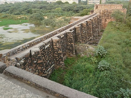
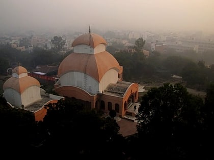
Nearby attractions include: Tughlaqabad Fort, Satpula, Shri Guru Ravidas Gurughar, Chittaranjan Park Kali Mandir.
Frequently Asked Questions (FAQ)
Which popular attractions are close to Jahanpanah City Forest?
Nearby attractions include Jahanpanah, Noida (10 min walk), Shri Guru Ravidas Gurughar, Delhi (20 min walk), Chittaranjan Park Kali Mandir, Delhi (21 min walk).
How to get to Jahanpanah City Forest by public transport?
The nearest stations to Jahanpanah City Forest:
Bus
Metro
Bus
- Narmada Apartment • Lines: 540, 540A (9 min walk)
- Ambedkar Nagar Sector 4 • Lines: 680 (10 min walk)
Metro
- Greater Kailash • Lines: Magenta Line (30 min walk)
- Chirag Delhi • Lines: Magenta Line (34 min walk)
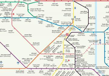 Metro
Metro