Satpula, Delhi
Map
Gallery
Facts and practical information
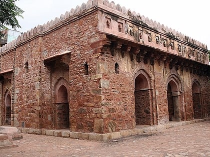
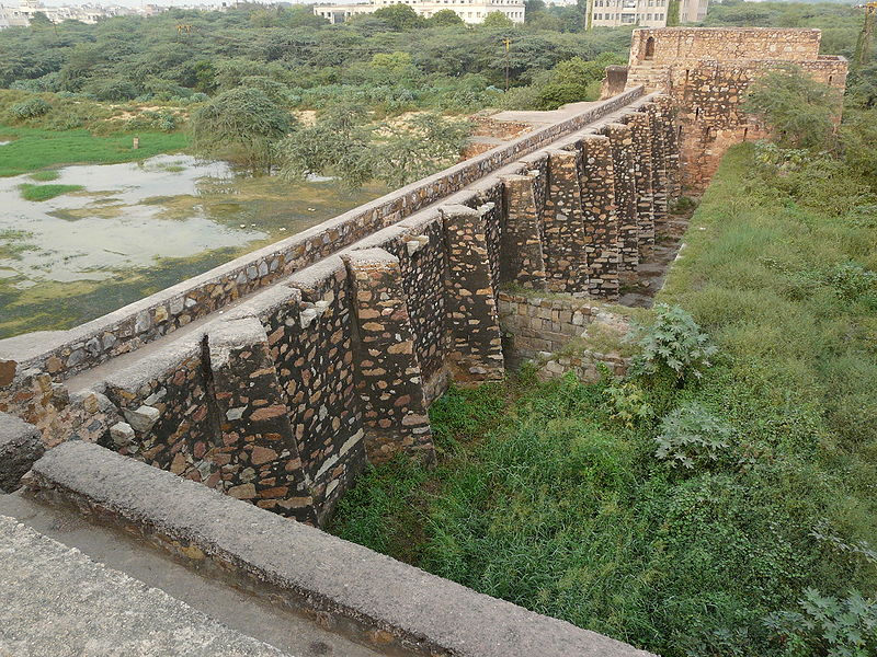
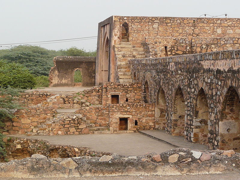
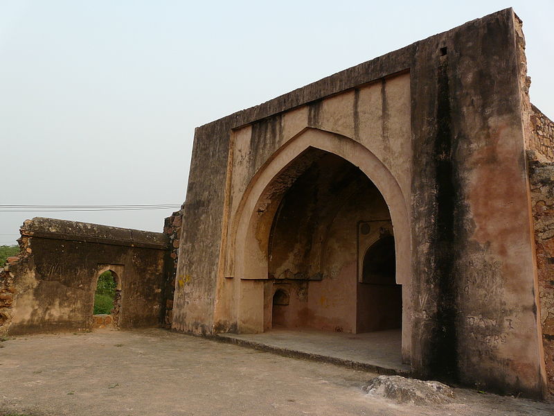
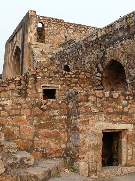
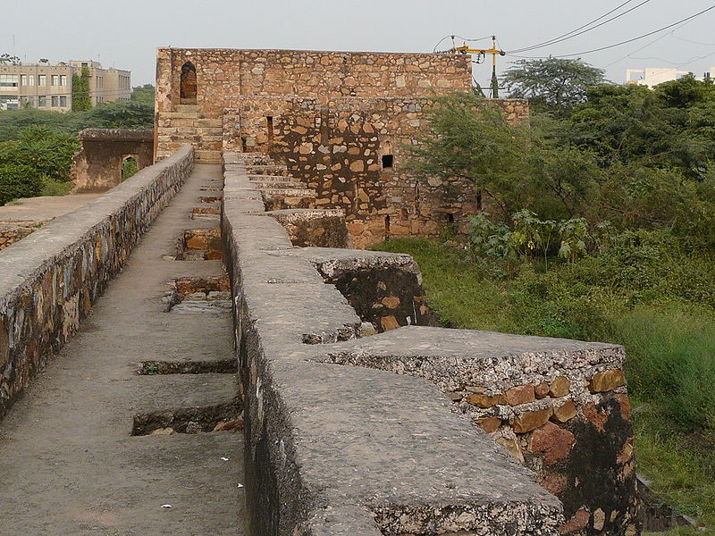
Satpula is a remarkable ancient water harvesting dam or weir located about 800 m east of the Khirki Masjid that is integral to the compound wall of the medieval fourth city of the Jahanpanah in Delhi, with its construction credited to the reign of Sultan Muhammad Shah Tughlaq of the Tughlaq Dynasty. ()
Length: 261 ftCoordinates: 28°31'54"N, 77°13'25"E
Address
Opposite Select City Walk MallSouth Delhi (Malviya Nagar)Delhi
ContactAdd
Social media
Add
Day trips
Satpula – popular in the area (distance from the attraction)
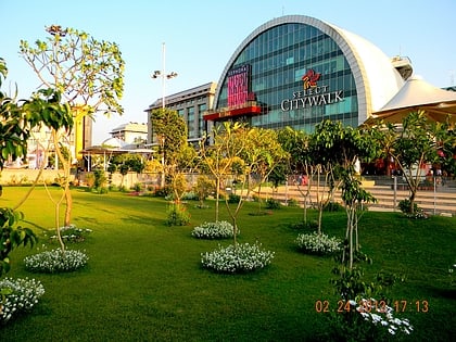
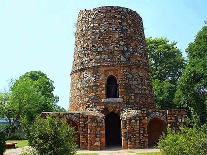
Nearby attractions include: Select Citywalk, Khirki Mosque, Jahanpanah City Forest, Chor Minar.
Frequently Asked Questions (FAQ)
Which popular attractions are close to Satpula?
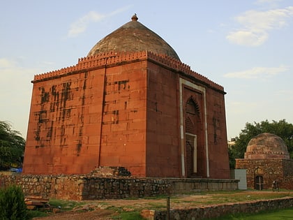
Nearby attractions include Khirki Mosque, Delhi (7 min walk), Tomb of Bahlul Lodi, Delhi (13 min walk), Malviya Nagar, Delhi (16 min walk).
How to get to Satpula by public transport?
The nearest stations to Satpula:
Bus
Metro
Bus
- PSRI Hospital • Lines: 448, 493, 534, 534A, 548 (1 min walk)
- Vocational College • Lines: 448, 493, 534, 534A, 548 (6 min walk)
Metro
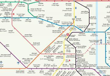
- Panchsheel Park • Lines: Magenta Line (20 min walk)
- Chirag Delhi • Lines: Magenta Line (20 min walk)



 Metro
Metro