Simbor, Diu

Map
Facts and practical information
Simbor is a territory of 0.91 square kilometers located in the estuary of the Sahil River in the cove of Simbor, about 25 km east of Diu. Since its establishment in the early 18th century, this exclave was subordinate to the District of Diu, Portuguese India, until in was occupied by India in December 1961, along with the rest of Portuguese India. Simbor is now part of the District of Diu, one of the three districts of the union territory of Dadra and Nagar Haveli and Daman and Diu. ()
Address
Diu
ContactAdd
Social media
Add
Day trips
Simbor – popular in the area (distance from the attraction)
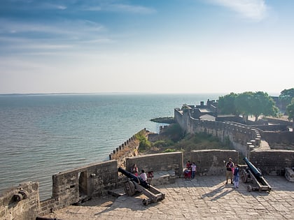
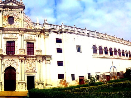
Nearby attractions include: Fort Diu, St. Paul's Church, Diu district, Diu.
Frequently Asked Questions (FAQ)
Which popular attractions are close to Simbor?
Nearby attractions include Diu district, Diu (1 min walk), St. Paul's Church, Diu (20 min walk).


