Wadakkancherry, Thrissur

Gallery (1)
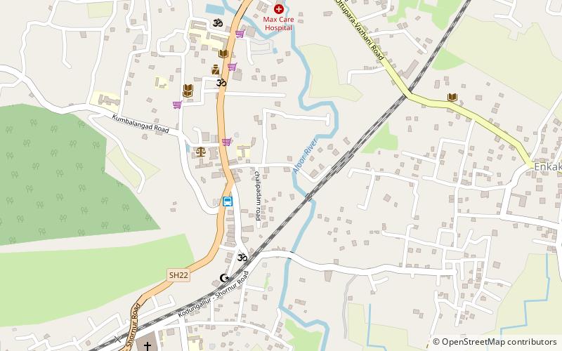
Map
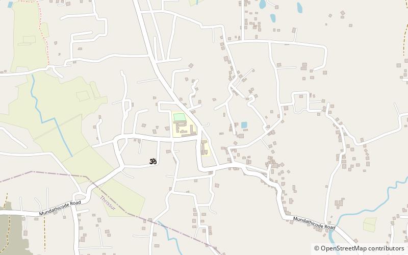
Map
Facts and practical information
Wadakkancherry is a major town in Thrissur, Kerala. Up until 1860, this area was part of Chelakkara Taluk. Now, it is the headquarters of Talappilly Taluk. ()
Coordinates: 10°39'29"N, 76°14'54"E
Getting there by public transportation
Public transportation stops near this location
- Bus
- Train
 Bus
Bus
- Calculate routewadakkanchery bus station 4 min walk
- Calculate routeOttupara Stand 12 min walk
- Calculate routeottupara bus stand 18 min walk
- Calculate routeUthralikkavu Bus Stop 35 min walk
- Calculate routeWadakancheri 19 min walk
Day trips


Frequently Asked Questions (FAQ)
How to get to Wadakkancherry by public transport?
The nearest stations to Wadakkancherry:
Bus
Train
Bus
- wadakkanchery bus station (4 min walk)
- Ottupara Stand (12 min walk)
Train
- Wadakancheri (19 min walk)