Rankini Mandir, Jamshedpur
Map
Facts and practical information
Rankini Mandir is a place located in Jamshedpur (Jharkhand state) and belongs to the category of sightseeing.
It is situated at an altitude of 512 feet, and its geographical coordinates are 22°48'14"N latitude and 86°10'3"E longitude.
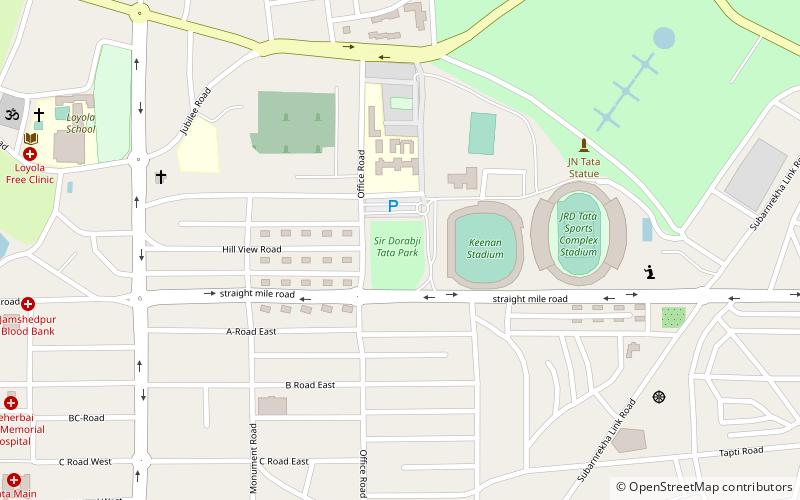
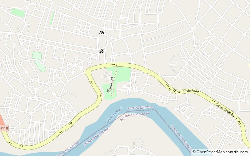
Among other places and attractions worth visiting in the area are: Bhatia Park (park, 18 min walk), Sir Dorabji Tata Park (park, 37 min walk), Keenan Stadium (sport, 40 min walk).
Coordinates: 22°48'14"N, 86°10'3"E
Address
Jamshedpur
ContactAdd
Social media
Add
Day trips