INA Colony, Delhi

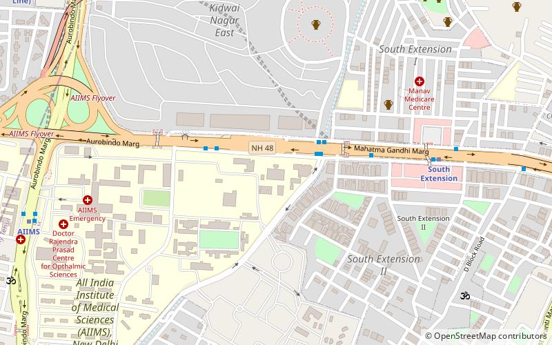
Map
Facts and practical information
INA colony is a residential colony maintained by the Airports Authority of India for their employees. It was named after a former private airline, Indian National Airways, which was amongst those nationalised and merged to form, Indian Airlines in 1953. ()
Coordinates: 28°34'35"N, 77°12'43"E
Address
South Delhi (Sewa Nagar)Delhi
ContactAdd
Social media
Add
Getting there by public transportation
Public transportation stops near this location
- Metro
- Bus
- Train
 Metro
Metro
- Calculate routeKidwai Nagar 5 min walk
- Calculate routeSafdarjung Terminal 7 min walk
- Calculate routeAll India Institute of Medical Sciences 13 min walk
- Calculate routeSafdarjung Airport 14 min walk
- Calculate routeIna 9 min walk
- Calculate routeAll India Institute of Medical Sciences 18 min walk
- Calculate routeJor Bagh 19 min walk
- Calculate routeLodhi Colony 10 min walk
- Calculate routeSewa Nagar 25 min walk
- Calculate routeSarojini Nagar 26 min walk
Maps Metro
Metro
MetroDay trips


Frequently Asked Questions (FAQ)
Which popular attractions are close to INA Colony?
Nearby attractions include Thyagaraj Sports Complex, Delhi (8 min walk), Laxmibai Nagar, Delhi (9 min walk), National Medical Library, Delhi (16 min walk), South Extension, Delhi (17 min walk).
How to get to INA Colony by public transport?
The nearest stations to INA Colony:
Bus
Metro
Train
Bus
- Kidwai Nagar • Lines: 335 (1), 335 (2), 344, 400, 433, 460, 502, 519, 540, 540A, 548, 578, 588, 615, 624A, 794 (5 min walk)
- Safdarjung Terminal • Lines: 519 (7 min walk)
Metro
- Ina • Lines: Pink Line, Yellow Line (9 min walk)
- All India Institute of Medical Sciences • Lines: Yellow Line (18 min walk)
Train
- Lodhi Colony (10 min walk)
- Sewa Nagar (25 min walk)