Nehru Park, Delhi
Map
Map

Facts and practical information
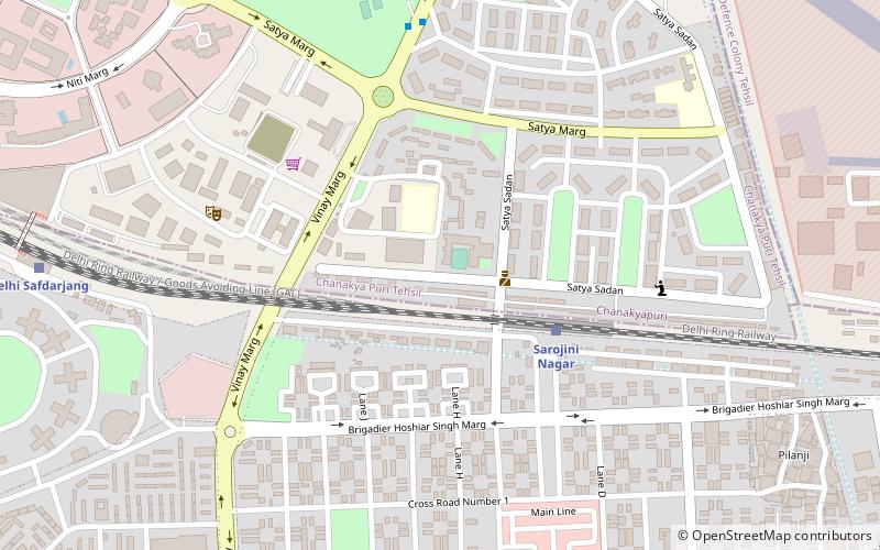
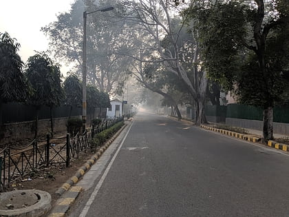
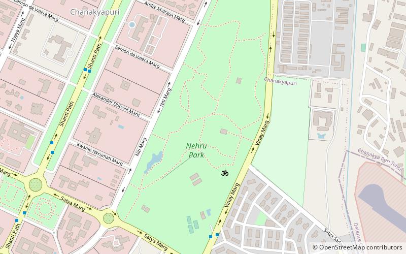
Nehru Park is a large park situated in the Chanakyapuri Diplomatic Enclave of New Delhi. Named after India's first Prime Minister, Jawaharlal Nehru, the park is spread over an area of 80 acres, close to the heart of the city, and was established in 1969. Its foundation stone was laid by Prime Minister Lal Bahadur Shastri, in 1965 in memory of the recently deceased Nehru. ()
Local name: नेहरू पार्क दिल्लीElevation: 748 ft a.s.l.Coordinates: 28°35'25"N, 77°11'35"E
Day trips
Nehru Park – popular in the area (distance from the attraction)
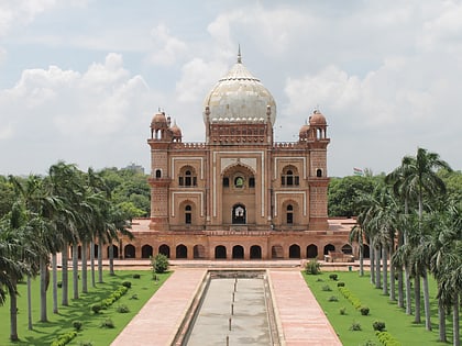
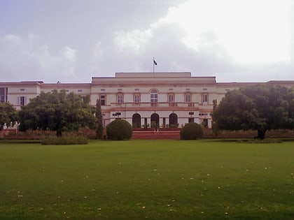
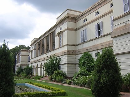
Nearby attractions include: Safdarjung's Tomb, National Rail Museum, Teen Murti Bhavan, Nehru Memorial Museum & Library.
Frequently Asked Questions (FAQ)
Which popular attractions are close to Nehru Park?
Nearby attractions include Rose Garden, Delhi (13 min walk), Netaji Nagar, Delhi (15 min walk), Ashram Chowk, Delhi (17 min walk), Moti Bagh, Delhi (20 min walk).
How to get to Nehru Park by public transport?
The nearest stations to Nehru Park:
Bus
Train
Metro
Bus
- Vinay Marg • Lines: 610 (8 min walk)
- Palika Club • Lines: 610 (8 min walk)
Train
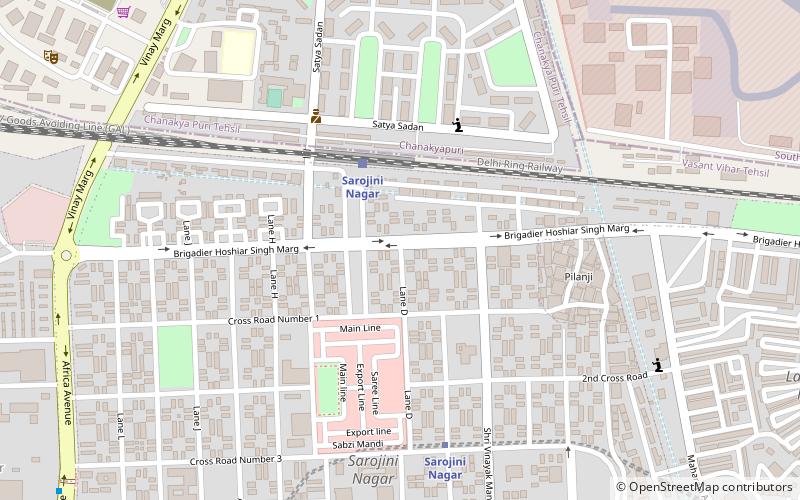
- Sarojini Nagar (18 min walk)
- Delhi Safdarjang (18 min walk)
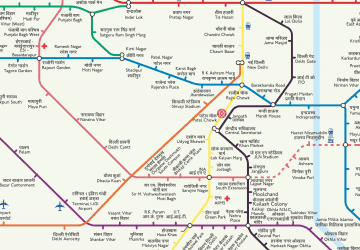
Metro
- Sarojini Nagar • Lines: Pink Line (27 min walk)
- Lok Kalyan Marg • Lines: Yellow Line (31 min walk)
 Metro
Metro