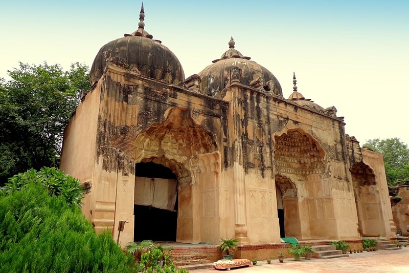
Civil Lines, Delhi
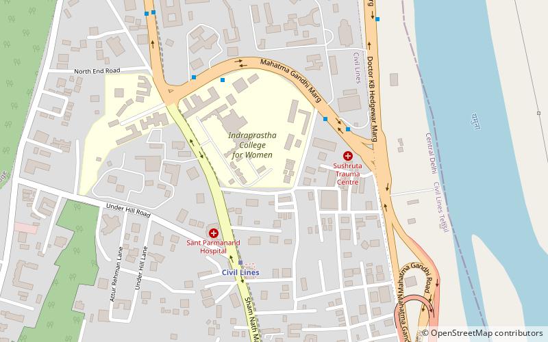
Map
Facts and practical information
The Civil Lines is a residential area and one of the 3 subdivisions of the Central Delhi district of Delhi in India. It is one of the 12 zones under the Municipal Corporation of Delhi. It was the hub of European-style hotels in the city until New Delhi came into being in 1911. The official residence of the Lieutenant Governor of Delhi is also located at Raj Niwas Marg, Civil Lines. ()
Coordinates: 28°40'46"N, 77°13'34"E
Address
Central Delhi (Civil Lines)Delhi
ContactAdd
Social media
Add
Getting there by public transportation
Public transportation stops near this location
- Metro
- Bus
 Metro
Metro
- Calculate routeMetcalfe House 4 min walk
- Calculate routeIndraprastha College 6 min walk
- Calculate routeIP College 6 min walk
- Calculate routeMetcalf House 9 min walk
- Calculate routeCivil Lines 5 min walk
- Calculate routeVidhan Sabha 14 min walk
- Calculate routeKashmere Gate 21 min walk
- Calculate routeTis Hazari 26 min walk
Maps Metro
Metro
MetroDay trips


Frequently Asked Questions (FAQ)
Which popular attractions are close to Civil Lines?
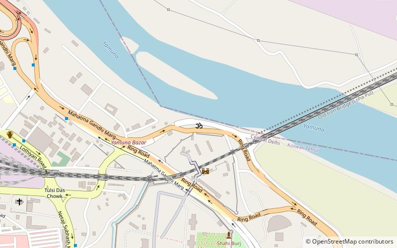
Nearby attractions include North Delhi, Delhi (6 min walk), Qudsia Bagh, Delhi (16 min walk), Old Yamuna Bridge, Delhi (16 min walk), Nicholson Cemetery, Delhi (18 min walk).
How to get to Civil Lines by public transport?
The nearest stations to Civil Lines:
Bus
Metro
Bus
- Metcalfe House • Lines: (-) Tms, (+) Tms (4 min walk)
- Indraprastha College • Lines: (-) Tms (6 min walk)
Metro
- Civil Lines • Lines: Yellow Line (5 min walk)
- Vidhan Sabha • Lines: Yellow Line (14 min walk)