Delhi/Central Delhi, Delhi
Map
Gallery
Facts and practical information
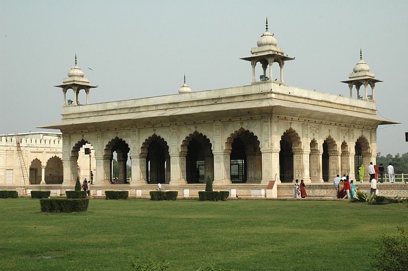
Central Delhi is an administrative district of the National Capital Territory of Delhi in India. It is bounded by the Yamuna River on the east and by the districts of North Delhi to the north, West Delhi and South West Delhi to the west, New Delhi to the south, and East Delhi to the east across the Yamuna. Administratively, the district is divided into three subdivisions, Civil Lines, Karol Bagh, and Kotwali,Delhi. ()
Day trips
Delhi/Central Delhi – popular in the area (distance from the attraction)
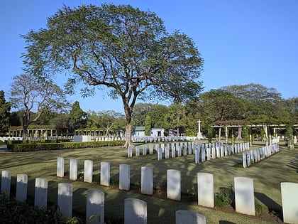
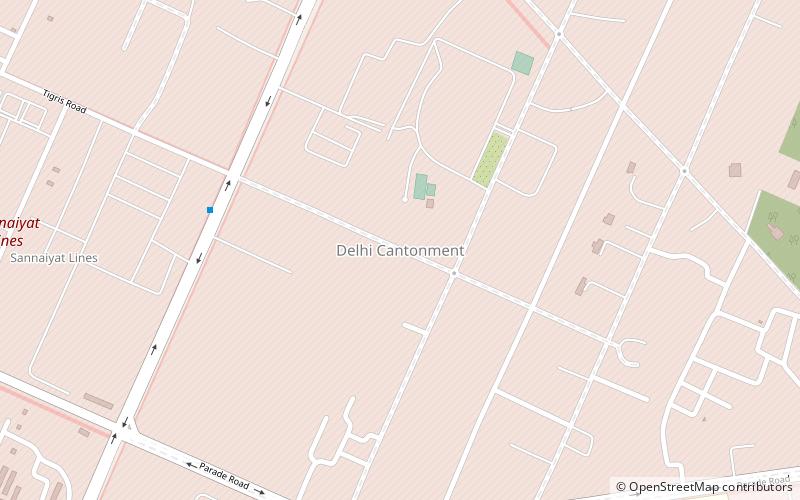
Nearby attractions include: Delhi War Cemetery, Delhi Cantonment, South West Delhi district, South East Delhi district.
Frequently Asked Questions (FAQ)
Which popular attractions are close to Delhi/Central Delhi?
Nearby attractions include South East Delhi district, Delhi (10 min walk), South West Delhi district, Delhi (10 min walk), Delhi War Cemetery, Delhi (19 min walk).
How to get to Delhi/Central Delhi by public transport?
The nearest stations to Delhi/Central Delhi:
Bus
Metro
Train
Bus
- Barar Square • Lines: (-) Tms, (+) Tms, 448, 448A, 479A (11 min walk)
- Garrison Engineering • Lines: (-) Tms, (+) Tms, 448, 448A, 479A (6 min walk)
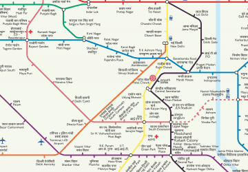
Metro
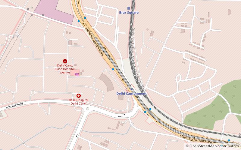
- Delhi Cantonment • Lines: Pink Line (8 min walk)
- Dhaula Kuan • Lines: AEx (37 min walk)
Train
- Brar Square (15 min walk)



 Metro
Metro