Dharmatala, Kolkata
Map
Gallery
Facts and practical information
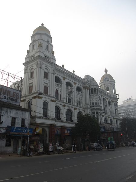
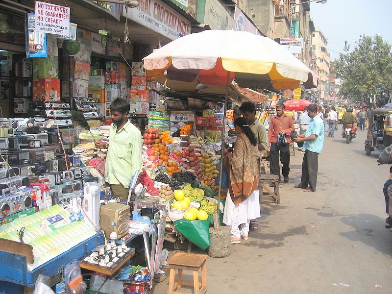
Dharmatala is a neighbourhood of Central Kolkata, in Kolkata district in the Indian state of West Bengal. Dharmatala Street has been renamed after Lenin as Lenin Sarani but the neighbourhood up to Wellington Square continues to be referred as Dharmatala. It is a busy commercial area that had come up with the growth of Calcutta during the British Raj and is thus one of the repositories of history in the city. ()
Coordinates: 22°33'36"N, 88°21'9"E
Address
Bowbazar Hare Street - TaltolaKolkata
ContactAdd
Social media
Add
Day trips
Dharmatala – popular in the area (distance from the attraction)
Nearby attractions include: New Market, Indian Museum, Eden Gardens, Netaji Indoor Stadium.
Frequently Asked Questions (FAQ)
Which popular attractions are close to Dharmatala?
Nearby attractions include New Market, Kolkata (1 min walk), Sudder Street, Kolkata (4 min walk), Janbazar, Kolkata (5 min walk), Indian Museum, Kolkata (5 min walk).
How to get to Dharmatala by public transport?
The nearest stations to Dharmatala:
Bus
Metro
Tram
Train
Bus
- Esplanade (10 min walk)
- Esplanade Bus Stand to Airport (7 min walk)
Metro
- Esplanade • Lines: 1 (7 min walk)
- Park Street • Lines: 1 (10 min walk)
Tram
- Esplanade • Lines: 36 (7 min walk)
Train
- Eden Gardens (25 min walk)
- BBD Bagh (32 min walk)


