Liluah, Kolkata
Map
Map

Facts and practical information
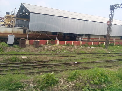
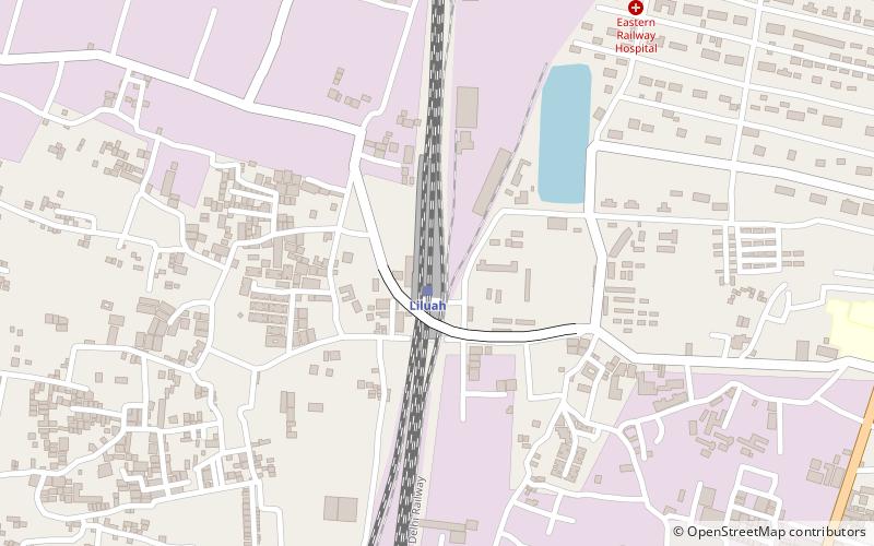
Liluah is a neighbourhood in Howrah city of Howrah district, West Bengal, India. It is a part of the area covered by Kolkata Metropolitan Development Authority. Liluah has a railway junction, which is the first station after Howrah station under the Eastern Railway. Its history dates back to the British era when the Liluah Carriage and wagon Workshop was set up to release pressure off Howrah. ()
Coordinates: 22°37'16"N, 88°20'22"E
Address
Kolkata
ContactAdd
Social media
Add
Day trips
Liluah – popular in the area (distance from the attraction)
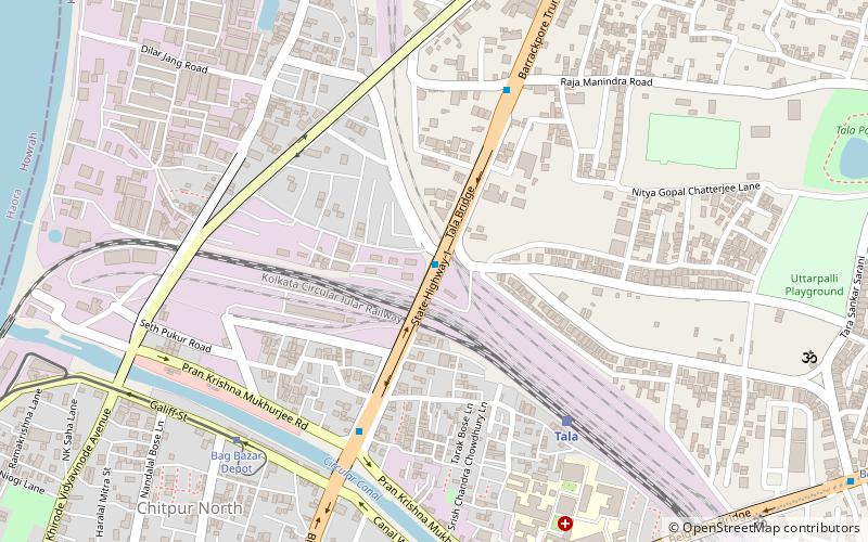
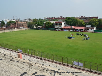
Nearby attractions include: Belur Math, Tala Bridge, Shobhabazar Lal Mandir, Baranagar.
Frequently Asked Questions (FAQ)
How to get to Liluah by public transport?
The nearest stations to Liluah:
Train
Bus
Train
- Liluah (1 min walk)
- Belur (26 min walk)
Bus
- Belur Math Bus stop (28 min walk)
