Arundelpet, Guntur
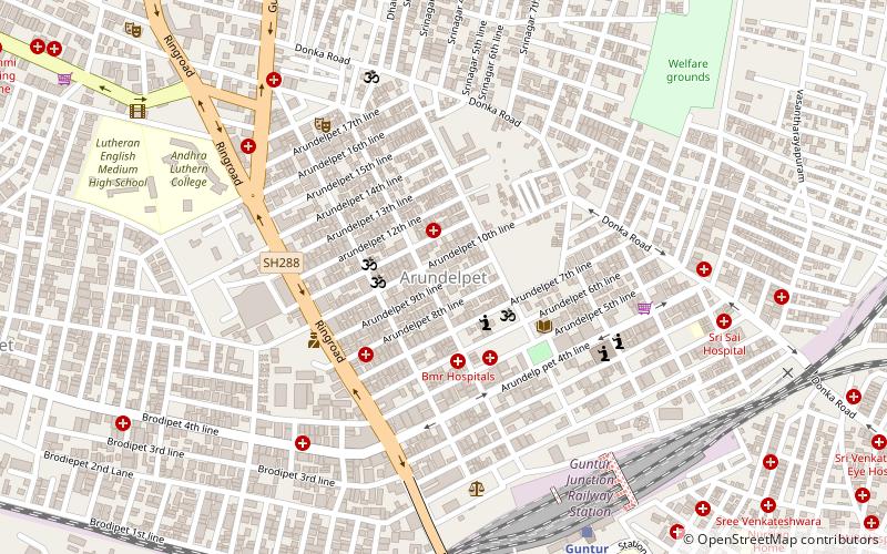
Map
Facts and practical information
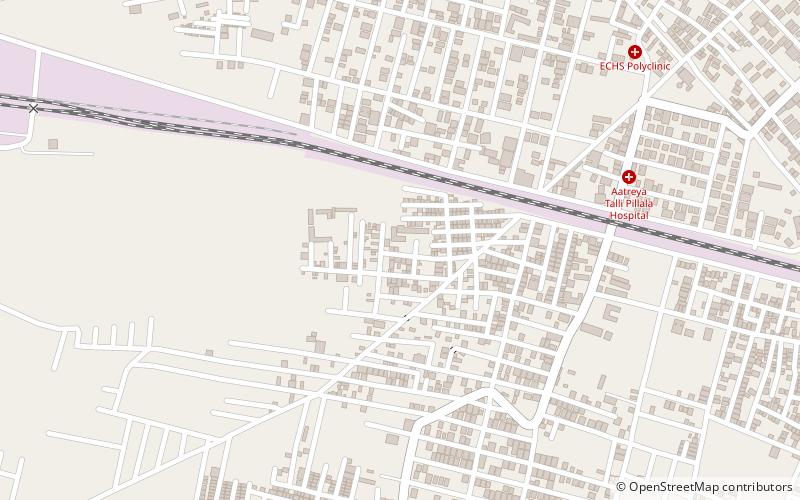
Arundelpet is a neighborhood in Guntur of the Indian state of Andhra Pradesh. It is one of the commercial areas of the city. ()
Coordinates: 16°18'18"N, 80°26'25"E
Address
Guntur
ContactAdd
Social media
Add
Day trips
Arundelpet – popular in the area (distance from the attraction)
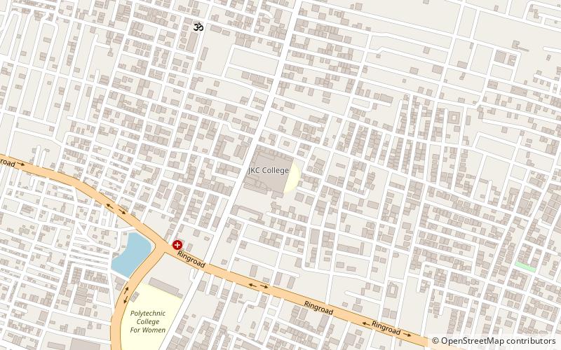
Nearby attractions include: Jinnah Tower, Budampadu, Gorantla, Pedapalakaluru.
Frequently Asked Questions (FAQ)
Which popular attractions are close to Arundelpet?
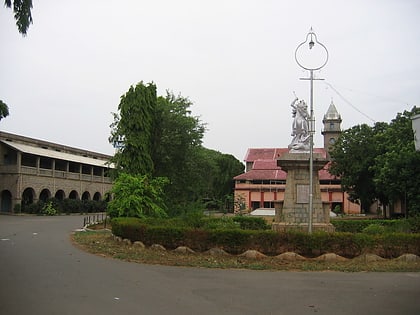
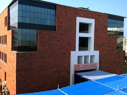
Nearby attractions include Guntur Medical College, Guntur (14 min walk), Andhra Christian College, Guntur (16 min walk).
How to get to Arundelpet by public transport?
The nearest stations to Arundelpet:
Train
Bus
Train
- Guntur Junction (10 min walk)
- New Guntur (30 min walk)
Bus
- Palnad Bus Departure Terminal, NTR bus station (32 min walk)
- City bus terminal, NTR bus station (32 min walk)

