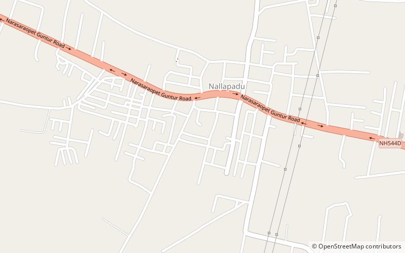
Nallapadu, Guntur
Map
Facts and practical information
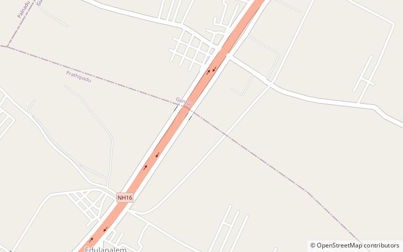
Nallapadu is a neighbourhood of Guntur in the Indian state of Andhra Pradesh. It was merged in Guntur Municipal Corporation in 2012 and is a part of Guntur West mandal. It is situated on the south west of Guntur on SH 2. ()
Area: 6.34 mi²Coordinates: 16°17'57"N, 80°23'12"E
Address
Guntur
ContactAdd
Social media
Add
Getting there by public transportation
Public transportation stops near this location
- Train
 Train
Train
- Calculate routeNallapadu 24 min walk
Day trips


Frequently Asked Questions (FAQ)
How to get to Nallapadu by public transport?
The nearest stations to Nallapadu:
Train
Train
- Nallapadu (24 min walk)