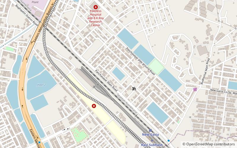
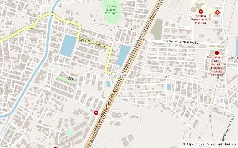
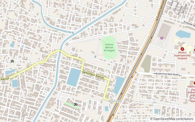
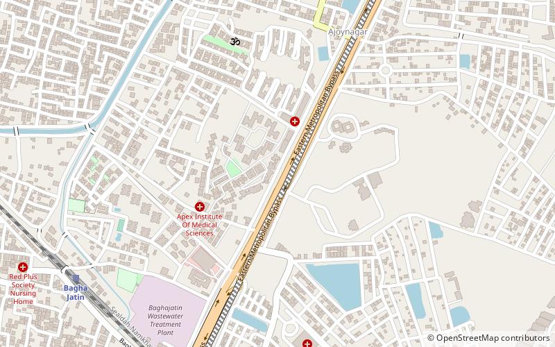
Mukundapur, Kolkata

Gallery (4)
Map


Map
Gallery
Facts and practical information
Mukundapur is a neighbourhood of East Kolkata in the Indian state of West Bengal. ()
Coordinates: 22°29'39"N, 88°24'31"E
Address
Purba JadavpurKolkata
ContactAdd
Social media
Add
Getting there by public transportation
Public transportation stops near this location
- Bus
 Bus
Bus
- Calculate routeSantoshpur BBD BAG mini bus stopage 16 min walk
- Calculate route1B Bus Terminus 28 min walk
Day trips

Frequently Asked Questions (FAQ)
How to get to Mukundapur by public transport?
The nearest stations to Mukundapur:
Bus
Bus
- Santoshpur BBD BAG mini bus stopage (16 min walk)
- 1B Bus Terminus (28 min walk)