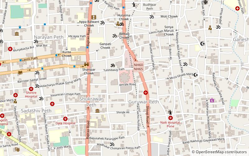
Bhavani Peth, Pune
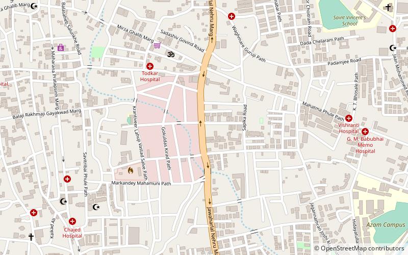
Map
Facts and practical information
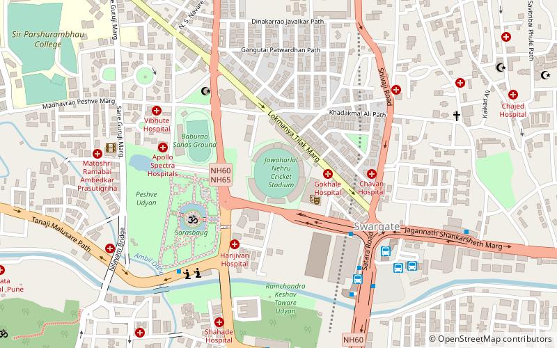
Bhavani Peth is an area located in Pune City, in Maharashtra State of the Republic of India. A study in 1990 described Bhavani Peth as the largest slum settlement in Pune. ()
Coordinates: 18°30'30"N, 73°52'6"E
Address
Pune
ContactAdd
Social media
Add
Day trips
Bhavani Peth – popular in the area (distance from the attraction)
Nearby attractions include: Shaniwar Wada, Nehru Stadium, Mahatma Phule Mandai, Dagdusheth Halwai Ganpati Mandir.
Frequently Asked Questions (FAQ)
Which popular attractions are close to Bhavani Peth?
Nearby attractions include Bhavani Peth, Pune (4 min walk), Guruwar Peth, Pune (14 min walk), Ganesh Peth, Pune (14 min walk), Ghorpade Peth, Pune (15 min walk).
How to get to Bhavani Peth by public transport?
The nearest stations to Bhavani Peth:
Bus
Bus
- Sonya Maruti Chowk • Lines: 283, 81 (21 min walk)
- Apollo Talkies • Lines: 283, 81, 94 (21 min walk)

