Kote Jalakantheshwara temple, Bangalore
Facts and practical information
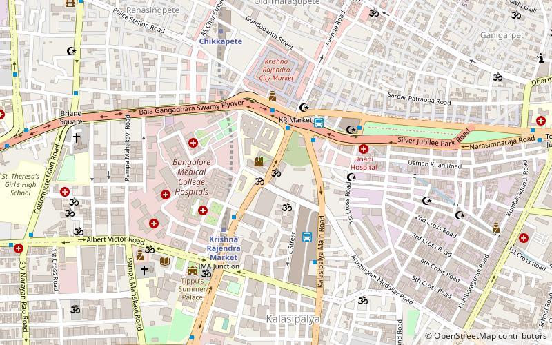
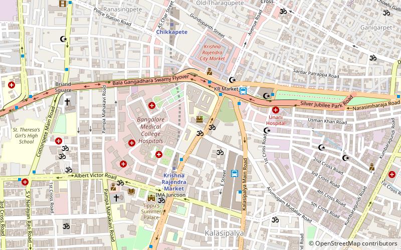
Nestled in the bustling heart of Bangalore, India, the Kote Jalakantheshwara temple stands as a testament to the city's rich historical tapestry and spiritual heritage. This ancient temple, dedicated to Lord Shiva, is a hidden gem located in the Kalasipalya area, near the City Market. It is one of the oldest temples in the metropolitan city, with its origins tracing back to the times of the Chola Dynasty.
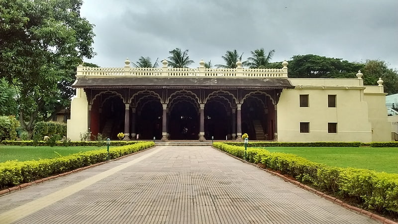
The Kote Jalakantheshwara temple is not just a place of worship but also an architectural marvel that showcases the intricate craftsmanship of the Chola period. The temple is constructed using a combination of soapstone and granite, materials that were commonly used during that era. The main deity, Lord Shiva, is worshipped in the form of a lingam, which is said to be a self-manifested (Swayambhu) lingam, adding to the temple's spiritual significance.
Despite being located in one of the busiest parts of Bangalore, the temple provides a tranquil oasis for devotees and visitors alike. The temple's complex is relatively modest in size, yet its historical significance and the serene atmosphere offer a unique experience that contrasts sharply with the surrounding urban chaos.
The Kote Jalakantheshwara temple is not as grandiose as some of the other famous temples in India, but its understated elegance and the palpable sense of history it exudes make it a must-visit for those interested in the spiritual and historical journey of Bangalore. The temple's annual Shivaratri festival draws a large number of devotees who come to offer their prayers and partake in the celebrations.
Open to visitors all year round, the temple remains a focal point for the local community, serving as a venue for religious ceremonies and festivals. The temple's architecture, with its classic Dravidian style, features elaborate carvings and sculptures that are a delight for history buffs and art enthusiasts.
Dharmarayaswamy TempleBangalore
- Metro
- Bus
- Train
 Metro
Metro
- Calculate routeKrishnarajendra Market 3 min walk
- Calculate routeKR Market 4 min walk
- Calculate routeKrishna Rajendra Market 5 min walk
- Calculate routeChikkapete 9 min walk
- Calculate routeNational College 22 min walk
- Calculate routeNadaprabhu Kempegowda Station, Majestic 24 min walk
- Calculate routeKrantivira Sangolli Rayanna 30 min walk


Frequently Asked Questions (FAQ)
Which popular attractions are close to Kote Jalakantheshwara temple?
How to get to Kote Jalakantheshwara temple by public transport?
Bus
- Krishnarajendra Market • Lines: 1, 102, 108, 223D, 223E, 226M, 500, 77E (3 min walk)
- KR Market • Lines: 1, 341C, 52, 55B, G6 (4 min walk)
Metro
- Krishna Rajendra Market • Lines: Green (5 min walk)
- Chikkapete • Lines: Green (9 min walk)
Train
- Krantivira Sangolli Rayanna (30 min walk)