Bengaluru Pete, Bangalore
Facts and practical information
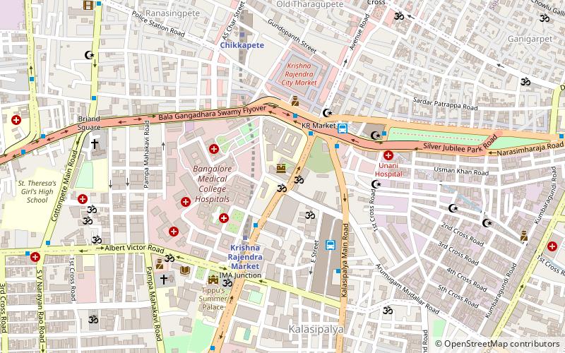
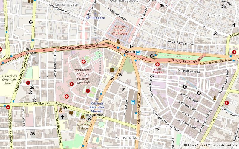
Bengaluru Pete is the area of Bangalore city which was established by Kempegowda I in 1537 with roads laid out in the cardinal directions, and entrance gates at the end of each road. Kempegowda also termed the Pete he built as his "gandu bhoomi" or "Land of Heroes". Pete forms a well–defined body of markets which were associated with various trades and professions of the populace in the locality markets and given the names of trades pursued in such markets. The well known markets are the Tharagupete–market for grains, the Balepete – for Bangles and musical instruments, the Chikkapete and the Nagarthpete for textile trade, the Ballapurpete and the Ganigarapete market where oil is extracted by people of the Ganiga community, the Tigalarapete–flower market of gardeners, the Cubbonpete – textile manufacture by people of the Devanga community. ()
ChamarajpetBangalore
- Metro
- Bus
- Train
 Metro
Metro
- Calculate routeKrishnarajendra Market 3 min walk
- Calculate routeKR Market 4 min walk
- Calculate routeKrishna Rajendra Market 4 min walk
- Calculate routeChikkapete 8 min walk
- Calculate routeNational College 22 min walk
- Calculate routeNadaprabhu Kempegowda Station, Majestic 24 min walk
- Calculate routeKrantivira Sangolli Rayanna 30 min walk


Frequently Asked Questions (FAQ)
Which popular attractions are close to Bengaluru Pete?
How to get to Bengaluru Pete by public transport?
Bus
- Krishnarajendra Market • Lines: 1, 102, 108, 223D, 223E, 226M, 500, 77E (3 min walk)
- KR Market • Lines: 1, 341C, 52, 55B, G6 (4 min walk)
Metro
- Krishna Rajendra Market • Lines: Green (4 min walk)
- Chikkapete • Lines: Green (8 min walk)
Train
- Krantivira Sangolli Rayanna (30 min walk)