Tangellamudi, Eluru
Map
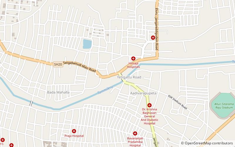
Map

Facts and practical information
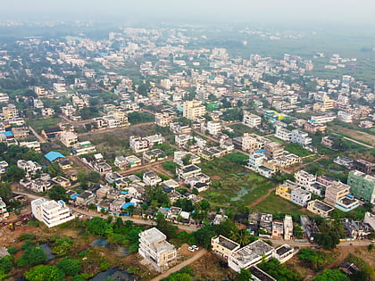
Tangellamudi is a census town in West Godavari district of the Indian state of Andhra Pradesh. It is in Eluru mandal of Eluru revenue division. The town is a constituent of Eluru urban agglomeration. The nearest railway station is in Powerpet and is 1.5 km. ()
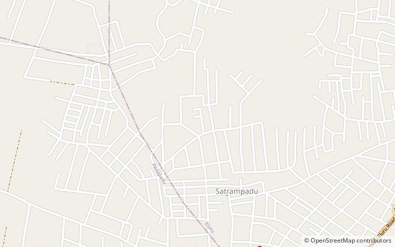
Area: 1.85 mi²Coordinates: 16°43'14"N, 81°6'31"E
Address
Eluru
ContactAdd
Social media
Add
Day trips
Tangellamudi – popular in the area (distance from the attraction)
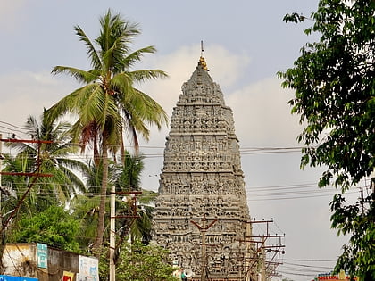
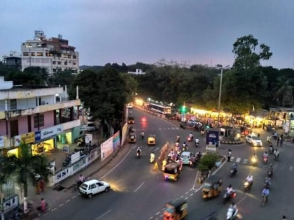
Nearby attractions include: Eluru Buddha Park, Sanivarapupeta, Komadavole, Fire Station Junction.
Frequently Asked Questions (FAQ)
How to get to Tangellamudi by public transport?
The nearest stations to Tangellamudi:
Train
Bus
Train
- Powerpet (14 min walk)
- Eluru (20 min walk)
Bus
- Eluru Old Bus Station (18 min walk)
