Komadavole, Eluru

Map
Facts and practical information
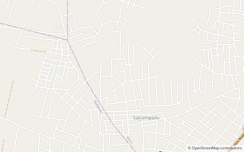
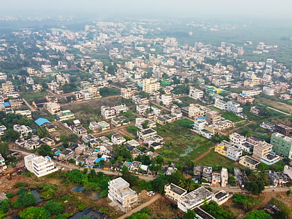
Komadavole is an out growth of Eluru city in West Godavari district of the Indian state of Andhra Pradesh. It is located in Eluru mandal of Eluru revenue division. It is also a constituent of Eluru Urban Agglomeration. ()
Coordinates: 16°42'42"N, 81°4'25"E
Address
Eluru
ContactAdd
Social media
Add
Day trips
Komadavole – popular in the area (distance from the attraction)
Nearby attractions include: Eluru Buddha Park, Sanivarapupeta, Tangellamudi, Fire Station Junction.
Frequently Asked Questions (FAQ)
How to get to Komadavole by public transport?
The nearest stations to Komadavole:
Bus
Bus
- Eluru bus depot (28 min walk)
- Eluru New APSRTC Bus Station (29 min walk)


