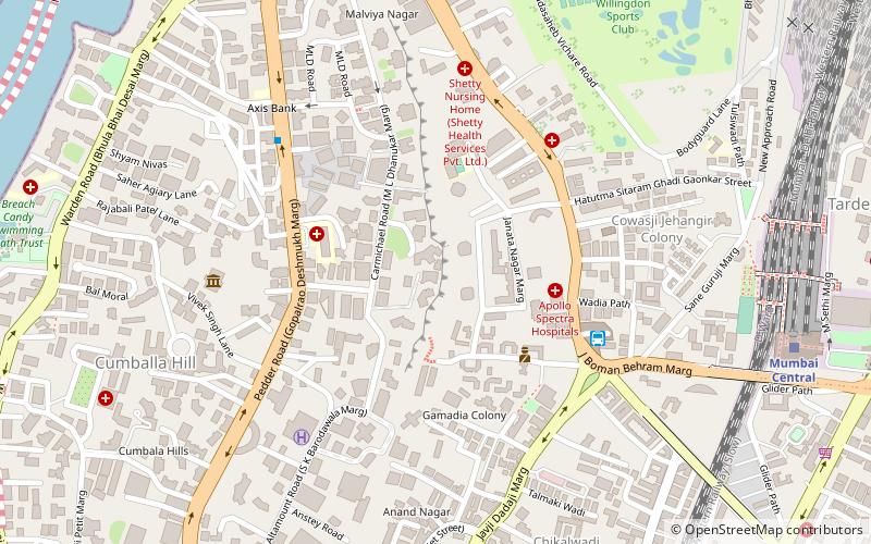
Carmichael Road, Mumbai
Map
Facts and practical information
Carmichael Road is an upmarket residential street of Mumbai, India. Situated on a ridge in South Mumbai, it is now officially called M.L. Dahanukar Marg. It has many old style bungalows and apartment houses, such as the art deco Kamal Mahal of film director, Kamal Amrohi. The street and surrounding neighbourhood is and has been home to Mumbai's rich and famous such as the Modys, the Commissariats, the Dahanukars, the Somaiyas, the Lalbhais, the Walchands and the Morarjees. ()
Coordinates: 18°58'16"N, 72°48'44"E
Address
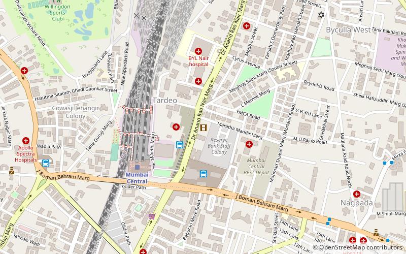
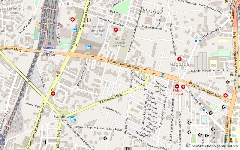
Girgaum (Tardeo)Mumbai
ContactAdd
Social media
Add
Getting there by public transportation
Public transportation stops near this location
- Bus
- Train
 Bus
Bus
- Calculate routeVasantrao Naik Chowk Tardeo Bus Station 6 min walk
- Calculate routeBus Agencies 15 min walk
- Calculate routeMumbai Central Bus Station 17 min walk
- Calculate routeTardeo 19 min walk
- Calculate routeMumbai Central 13 min walk
- Calculate routeGrant Road 15 min walk
- Calculate routeMahalaxmi 29 min walk
- Calculate routeSant Gadge Maharaj Chok 35 min walk
Day trips


Frequently Asked Questions (FAQ)
Which popular attractions are close to Carmichael Road?
Nearby attractions include The Imperial, Mumbai (2 min walk), Tardeo, Mumbai (5 min walk), Lodha Altamount, Mumbai (6 min walk), Antilia Building, Mumbai (7 min walk).
How to get to Carmichael Road by public transport?
The nearest stations to Carmichael Road:
Bus
Train
Bus
- Vasantrao Naik Chowk Tardeo Bus Station (6 min walk)
- Bus Agencies (15 min walk)
Train
- Mumbai Central (13 min walk)
- Grant Road (15 min walk)