Velachery taluk, Chennai

Map
Facts and practical information
Velachery taluk is a taluk of the city district of Chennai in the Indian state of Tamil Nadu. It was formed in December 2013 from parts of the erstwhile Mambalam-Guindy and Mylapore-Triplicane taluks. It comprises the neighbourhoods of Besant Nagar, Tharamani, Thiruvanmiyur and Velachery. ()
Coordinates: 12°58'33"N, 80°13'14"E
Address
Adyar (Velachery)Chennai
ContactAdd
Social media
Add
Day trips
Velachery taluk – popular in the area (distance from the attraction)
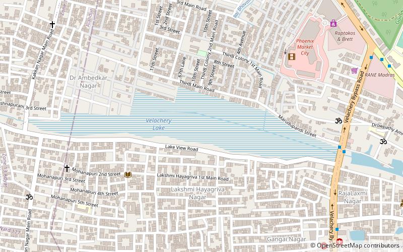
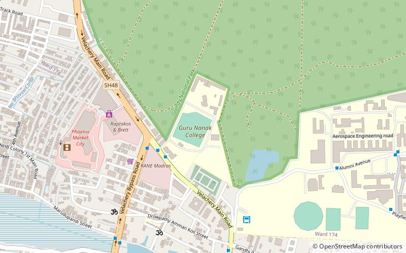
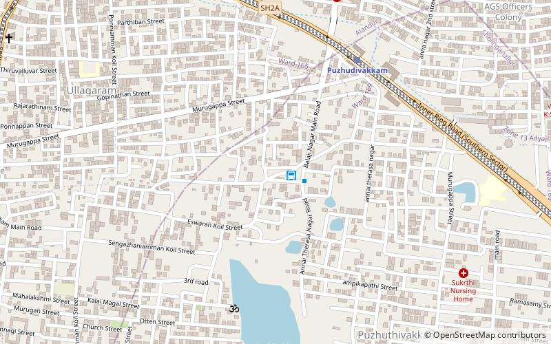
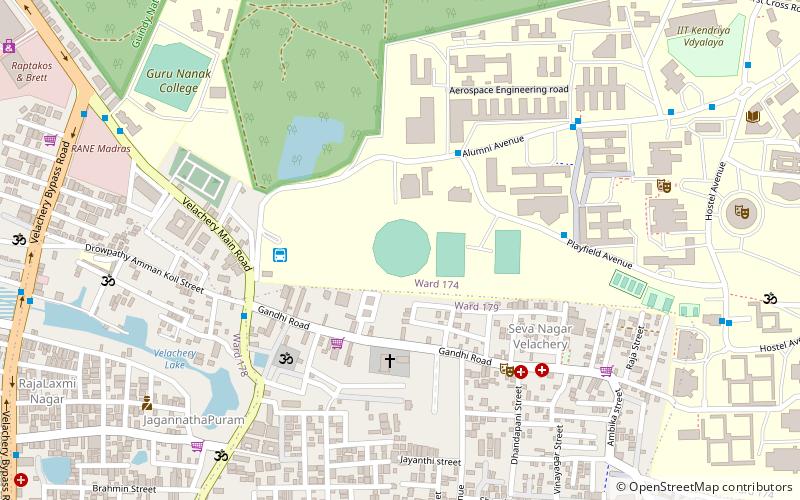
Nearby attractions include: Phoenix Marketcity, Velachery Lake, Guru Nanak College Ground, Puzhuthivakkam.
Frequently Asked Questions (FAQ)
How to get to Velachery taluk by public transport?
The nearest stations to Velachery taluk:
Bus
Light rail
Bus
- Velachery Vijayanagar MTC Terminus (1 min walk)
- Velachery Vijayanagar Bus Terminus • Lines: 51, D51Et, D70, D70Ct, V51 (2 min walk)
Light rail
- Velachery • Lines: 1 (15 min walk)
- Perungudi • Lines: 1 (20 min walk)


