Uttarahalli, Bangalore
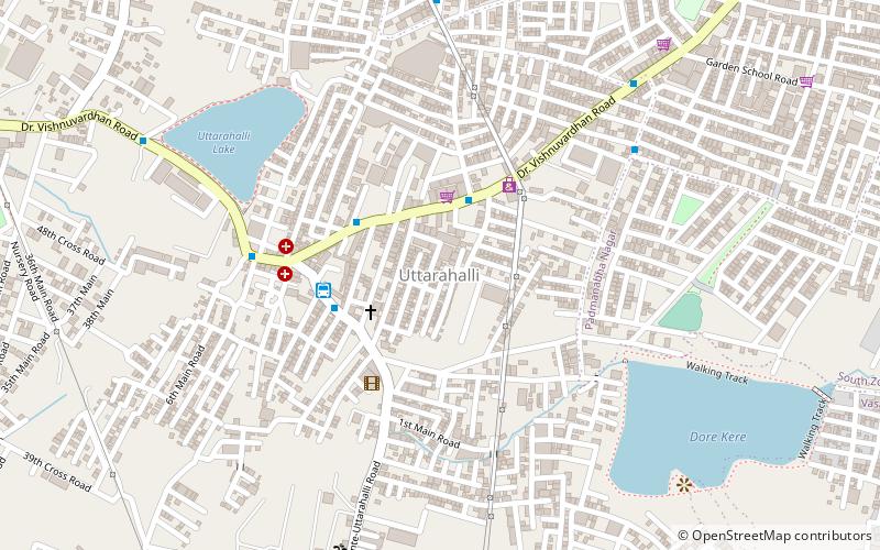
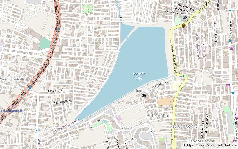
Map
Facts and practical information
Address
Padmanabha NagarBangalore
ContactAdd
Social media
Add
Getting there by public transportation
Public transportation stops near this location
- Metro
- Bus
 Metro
Metro
- Calculate routeKrishnarajendra Hospital 3 min walk
- Calculate routeUttarahalli Bus Station 4 min walk
- Calculate routeUtharahalli Circle 7 min walk
- Calculate routeChikkallasandra Bank Colony 10 min walk
- Calculate routeKonanakunte Cross 42 min walk
Day trips


Frequently Asked Questions (FAQ)
How to get to Uttarahalli by public transport?
The nearest stations to Uttarahalli:
Bus
Metro
Bus
- Krishnarajendra Hospital • Lines: 375 (3 min walk)
- Uttarahalli Bus Station (4 min walk)
Metro
- Konanakunte Cross • Lines: Green (42 min walk)