Laxmibai Nagar, Delhi
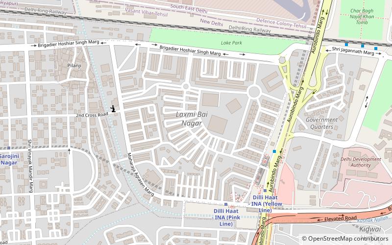
Map
Facts and practical information
Laxmi Bai Nagar is a vip residential colony in New Delhi, India. Laxmi Bai, meaning "city of Lakshmibai", is named for the Rani of the Maratha-ruled Jhansi State in India, which is now a province of modern Uttar Pradesh state. She fought for independence from the British Raj during the Indian Rebellion of 1857 and died in combat. ()
Coordinates: 28°34'36"N, 77°12'23"E
Address
New Delhi (N.D. Charge 7)Delhi
ContactAdd
Social media
Add
Day trips
Laxmibai Nagar – popular in the area (distance from the attraction)
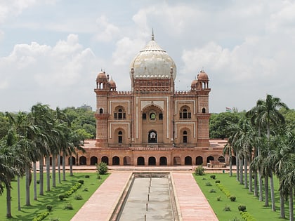
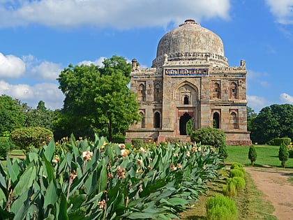
Nearby attractions include: Ansal Plaza, Safdarjung's Tomb, Lodi Gardens, Thyagaraj Sports Complex.
Frequently Asked Questions (FAQ)
Which popular attractions are close to Laxmibai Nagar?
Nearby attractions include INA Colony, Delhi (9 min walk), Sarojini Nagar, Delhi (15 min walk), Thyagaraj Sports Complex, Delhi (17 min walk), National Medical Library, Delhi (21 min walk).
How to get to Laxmibai Nagar by public transport?
The nearest stations to Laxmibai Nagar:
Metro
Bus
Train
Metro
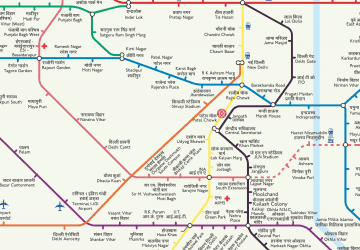
- Ina • Lines: Pink Line, Yellow Line (7 min walk)
- Sarojini Nagar • Lines: Pink Line (13 min walk)
Bus
- Kidwai Nagar • Lines: 335 (1), 335 (2), 344, 400, 433, 460, 502, 519, 540, 540A, 548, 578, 588, 615, 624A, 794 (7 min walk)
- Safdarjung Terminal • Lines: 519 (13 min walk)
Train
- Lodhi Colony (18 min walk)
- Sarojini Nagar (18 min walk)
 Metro
Metro
