Mambalam, Chennai
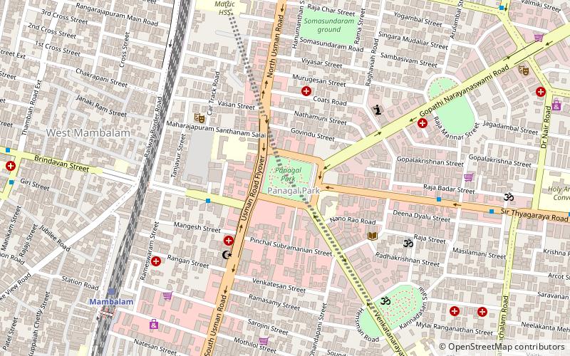
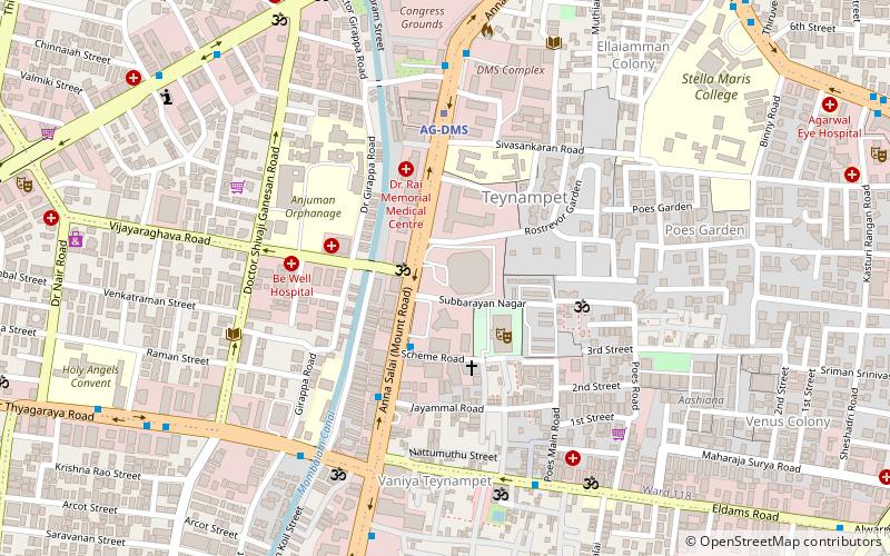
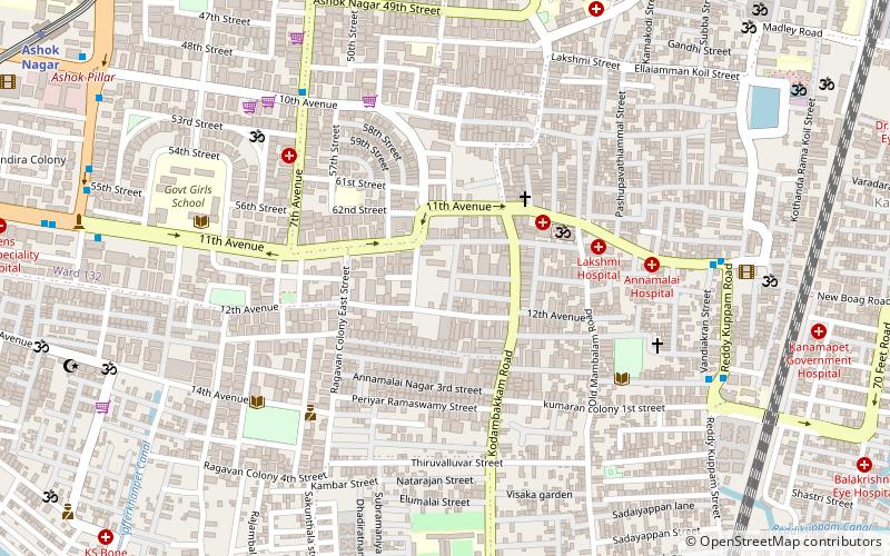
Map
Facts and practical information
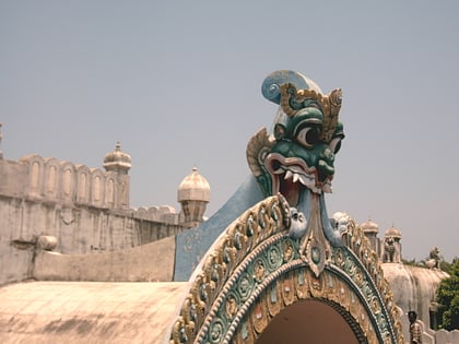
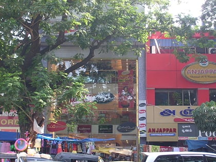
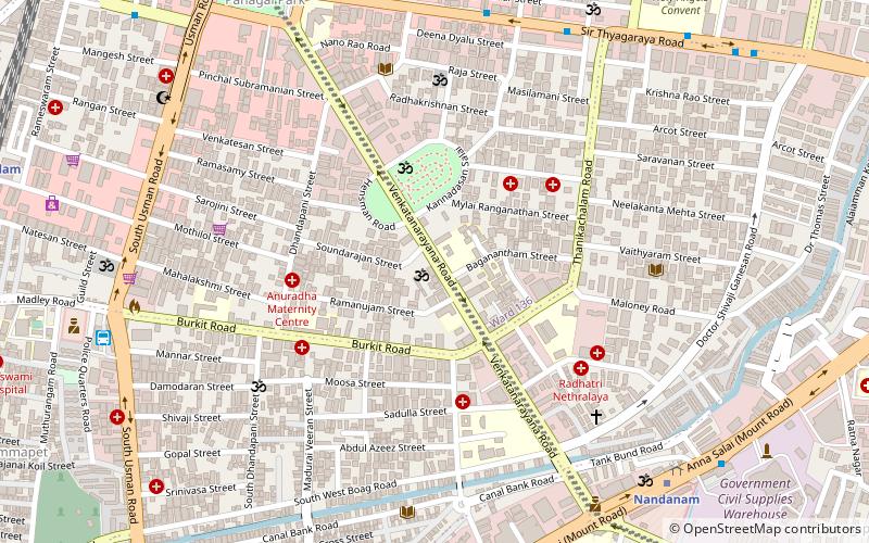
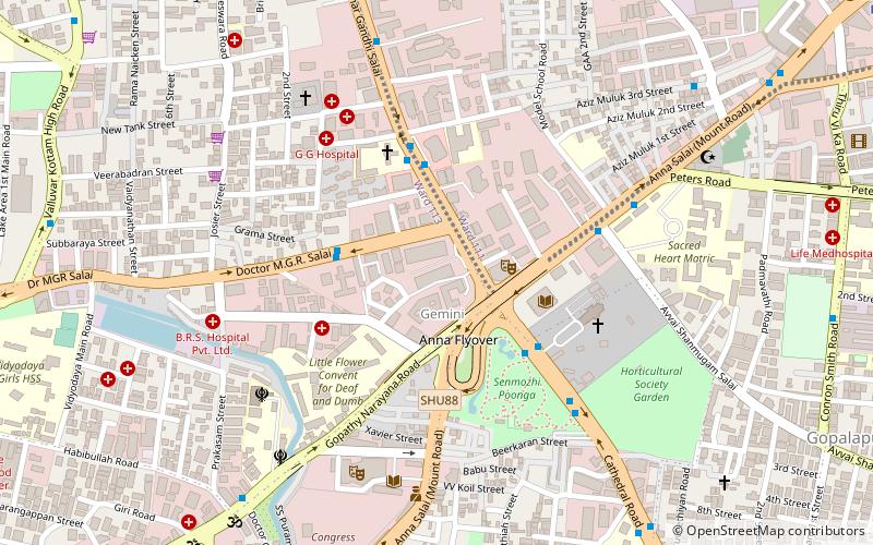
West Mambalam is a residential and commercial area in Chennai, India. It is known for its shops, bazaars and Hindu temples. It is bounded by Kodambakkam to the north and Saidapet to the south. T. Nagar and Nandanam stretch all along its eastern frontiers while Ashok Nagar lies to its west. The Ayodhya Mandapam is an important landmark. ()
Coordinates: 13°2'29"N, 80°13'59"E
Address
Kodambakkam (Thyagaraya Nagar)Chennai
ContactAdd
Social media
Add
Day trips
Mambalam – popular in the area (distance from the attraction)
Nearby attractions include: Valluvar Kottam, Ramee Mall, Pondy Bazaar, Church of Our Lady of Light.
Frequently Asked Questions (FAQ)
Which popular attractions are close to Mambalam?
Nearby attractions include Panagal Park, Chennai (1 min walk), Natesan Park, Chennai (9 min walk), Sri Balaji Temple, Chennai (12 min walk), Pondy Bazaar, Chennai (13 min walk).
How to get to Mambalam by public transport?
The nearest stations to Mambalam:
Train
Bus
Metro
Train
- Mambalam (11 min walk)
- Kodambakkam (19 min walk)
Bus
- Thyagaraya Nagar Bus Terminus (14 min walk)
- Valluvar Kottam • Lines: 147C (28 min walk)
Metro
- Nandanam • Lines: 1 (23 min walk)
- Teynampet • Lines: 1 (25 min walk)
