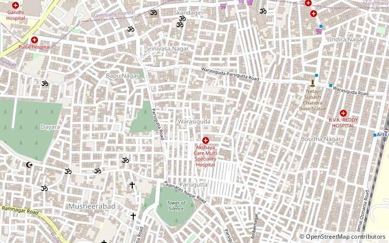
Warsiguda, Hyderabad
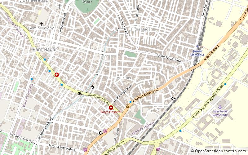
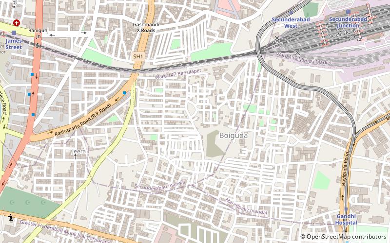
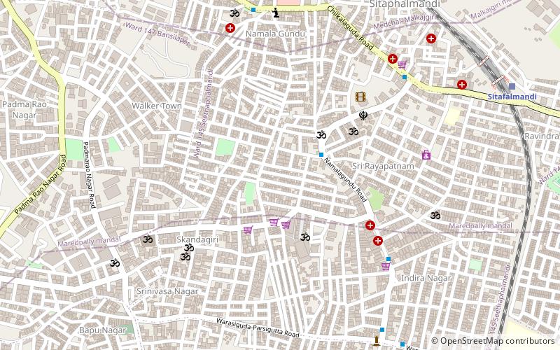
Map
Facts and practical information
Warasiguda is one of the neighborhoods in Secunderabad, India. It is named by Waris nawab. ()
Coordinates: 17°25'6"N, 78°30'41"E
Address
Secunderabad Division (Boudha Nagar)Hyderabad
ContactAdd
Social media
Add
Getting there by public transportation
Public transportation stops near this location
- Metro
- Bus
- Train
 Metro
Metro
- Calculate routeArts College 15 min walk
- Calculate routeJamai Osmania 17 min walk
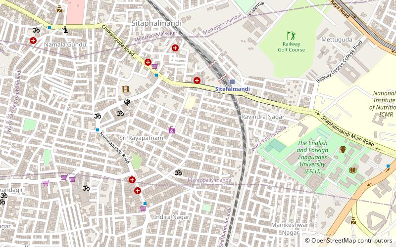
- Calculate routeSitafalmandi 23 min walk
- Calculate routeVidyanagar 29 min walk
- Calculate routeMusheerabad 20 min walk
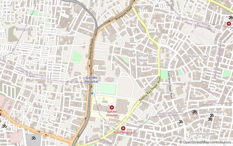
- Calculate routeGandhi Hospital 21 min walk
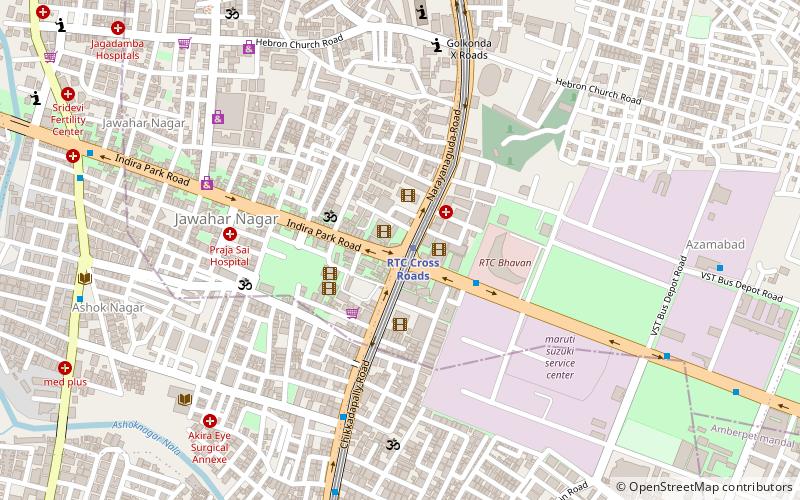
- Calculate routeRTC Cross Roads 32 min walk
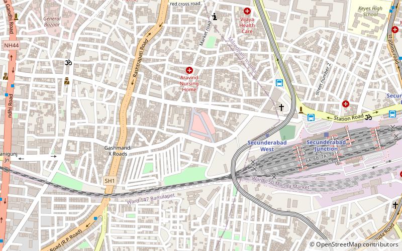
- Calculate routeSecunderabad West 34 min walk
- Calculate routeRathifile Bus Station 31 min walk
- Calculate routeSecunderabad Bus Stand 34 min walk
Day trips


Frequently Asked Questions (FAQ)
Which popular attractions are close to Warsiguda?
Nearby attractions include Padmarao Nagar, Hyderabad (10 min walk), Namalagundu, Hyderabad (12 min walk), Adikmet, Hyderabad (16 min walk), Gandhi Medical College, Hyderabad (17 min walk).
How to get to Warsiguda by public transport?
The nearest stations to Warsiguda:
Train
Metro
Bus
Train
- Arts College (15 min walk)
- Jamai Osmania (17 min walk)
Metro
- Musheerabad • Lines: 2 (20 min walk)
- Gandhi Hospital • Lines: 2 (21 min walk)
Bus
- Rathifile Bus Station (31 min walk)
- Secunderabad Bus Stand (34 min walk)