Panchpakhadi, Thane
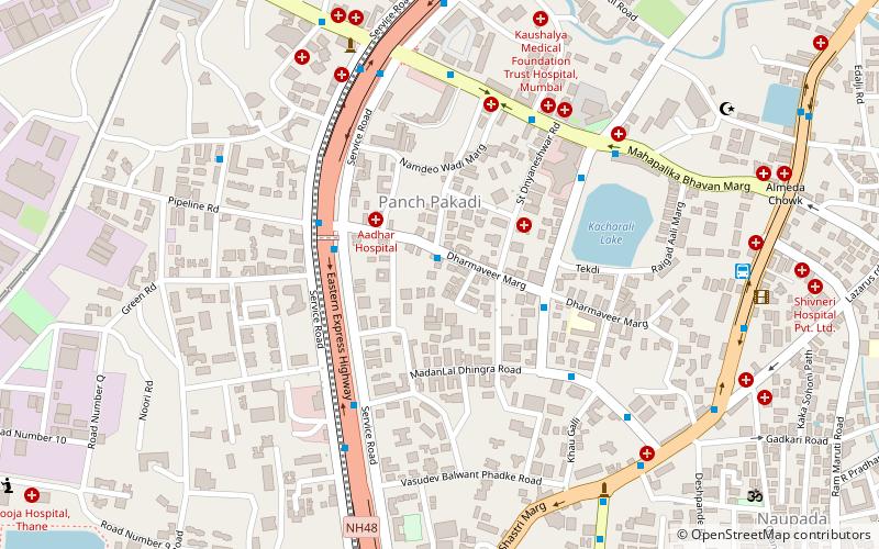
Map
Facts and practical information
Coordinates: 19°11'43"N, 72°57'53"E
Address
Thane
ContactAdd
Social media
Add
Getting there by public transportation
Public transportation stops near this location
- Bus
- Train
 Bus
Bus
- Calculate routeNitin Junction Bus Stop 7 min walk
- Calculate routeNitin Company 8 min walk
- Calculate routeVandana ST Bus Depot 10 min walk
- Calculate routeTeen Hath Naka 12 min walk
- Calculate routeThane 24 min walk
Day trips


Frequently Asked Questions (FAQ)
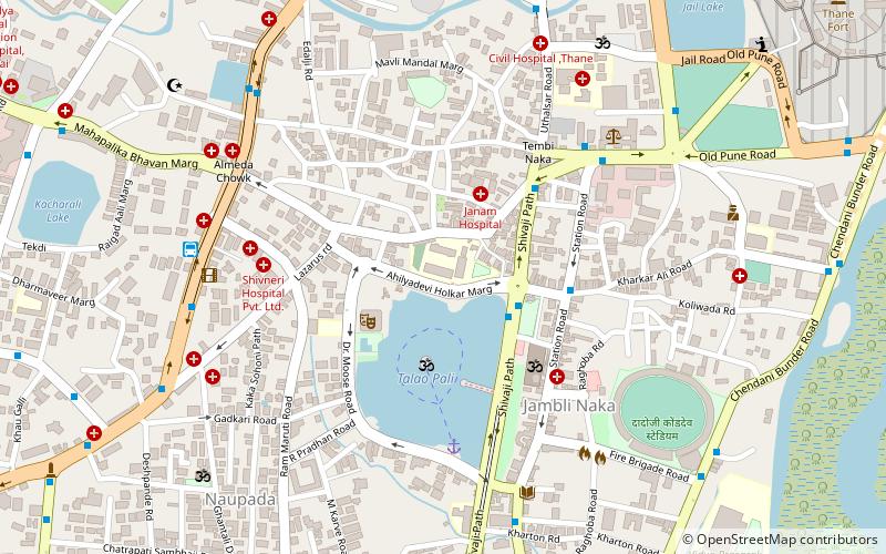
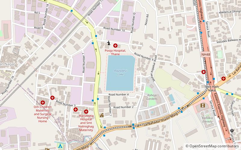
Which popular attractions are close to Panchpakhadi?
Nearby attractions include Chandanwadi, Thane (12 min walk), Khopat, Thane (13 min walk), Railadevi Lake, Thane (17 min walk), St. John the Baptist Church, Thane (18 min walk).
How to get to Panchpakhadi by public transport?
The nearest stations to Panchpakhadi:
Bus
Train
Bus
- Nitin Junction Bus Stop • Lines: 7 (7 min walk)
- Nitin Company • Lines: 7 (8 min walk)
Train
- Thane (24 min walk)