Vartak Nagar, Thane
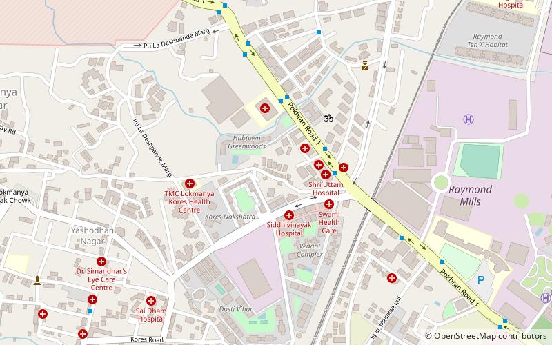
Map
Facts and practical information
Vartak Nagar is a locality in Thane city of Maharashtra state in India. It's nearly 4.3 kilometers from Thane railway station. Pokhran Road No. 1 cuts through this locality to join Pokhran Road No. 2 at Upvan Lake. A major part of Vartak Nagar is covered by the 63-acre MHADA colony buildings. These buildings are largely occupied by industrial workers employed in manufacturing units in and around Thane. ()
Coordinates: 19°12'36"N, 72°57'36"E
Address
Thane
ContactAdd
Social media
Add
Day trips
Vartak Nagar – popular in the area (distance from the attraction)
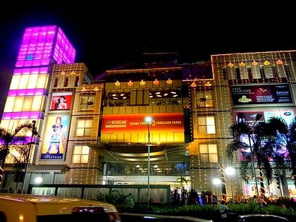
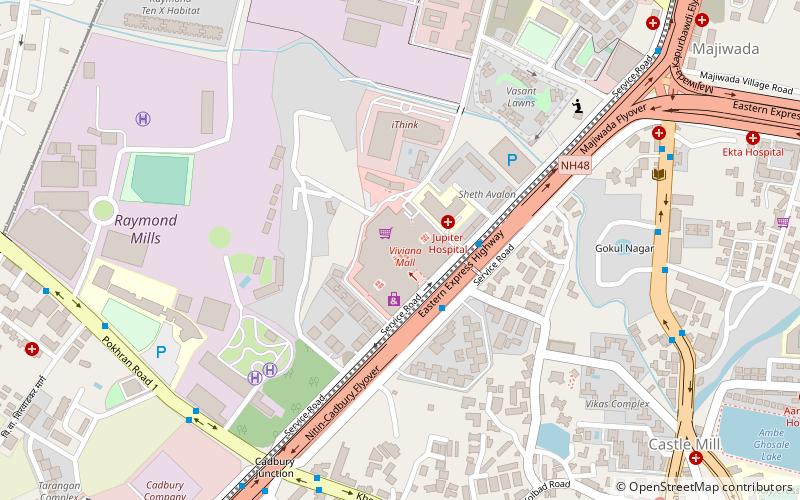
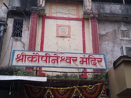
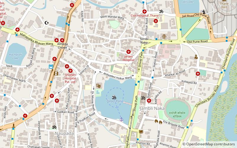
Nearby attractions include: Korum Mall, Viviana Mall, Kopineshwar Mandir, St. John the Baptist Church.
Frequently Asked Questions (FAQ)
Which popular attractions are close to Vartak Nagar?
Nearby attractions include Upvan Lake, Thane (22 min walk), Khopat, Thane (24 min walk).
How to get to Vartak Nagar by public transport?
The nearest stations to Vartak Nagar:
Bus
Bus
- Lokmanya Nagar Bus Depot (14 min walk)
- ESIS Hospital • Lines: 6, Bus 6 (15 min walk)
