Bijalpur, Indore

Map
Facts and practical information
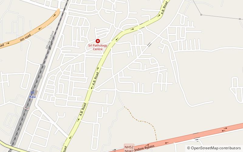
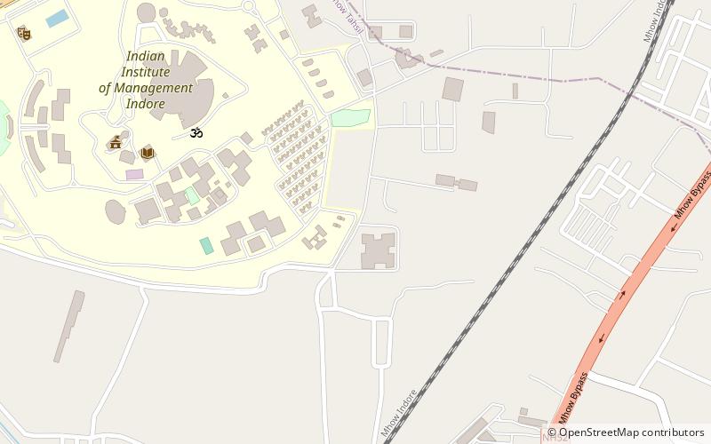
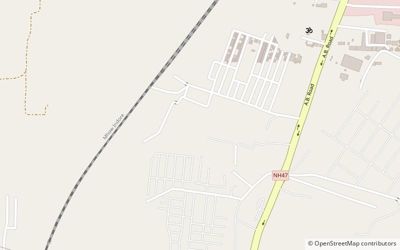
Bijalpur is in the south-west region of Indore city. It has population of 40,000. ()
Coordinates: 22°38'5"N, 75°48'41"E
Day trips
Bijalpur – popular in the area (distance from the attraction)
Nearby attractions include: Rau, Lal Bahadur Shastri Integrated Institute of Science and Technology, Emerald High School Ground, Medi-Caps Institute of Technology & Management.
Frequently Asked Questions (FAQ)
How to get to Bijalpur by public transport?
The nearest stations to Bijalpur:
Train
Train
- Rau (11 min walk)


