Emerald High School Ground, Indore
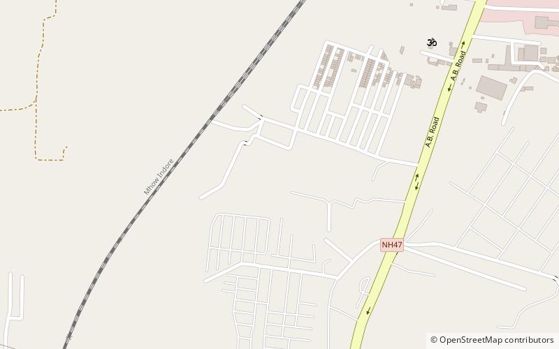
Map
Facts and practical information
Emerald Heights International School ground is located in Indore, Madhya Pradesh. The ground was founded in 2001. The ground has got pavilion and can accommodate 500 persons. It has basketball and volleyball courts and a two international level cricket ground along with one gymnasium hall. It also has facilities for swimming, table tennis, billiards, cards and tennis courts. It has one main clubhouse. ()
Coordinates: 22°39'2"N, 75°48'60"E
Address
Indore
ContactAdd
Social media
Add
Day trips
Emerald High School Ground – popular in the area (distance from the attraction)
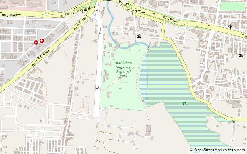
Nearby attractions include: Rajwada, Atal Bihari Vajpayee Regional Park, Bijasan Mata Temple Indore, Kanch Mandir.
Frequently Asked Questions (FAQ)
How to get to Emerald High School Ground by public transport?
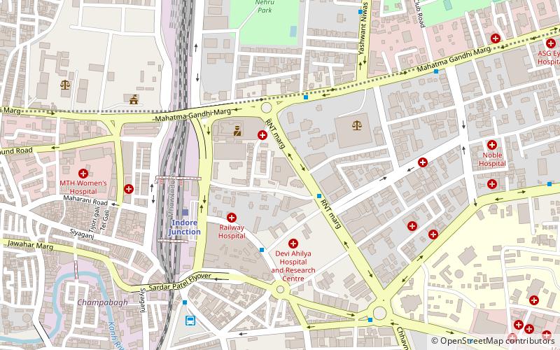
The nearest stations to Emerald High School Ground:
Train
Train
- Rau (36 min walk)

