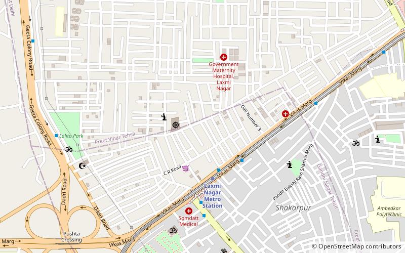
Preet Vihar, Delhi
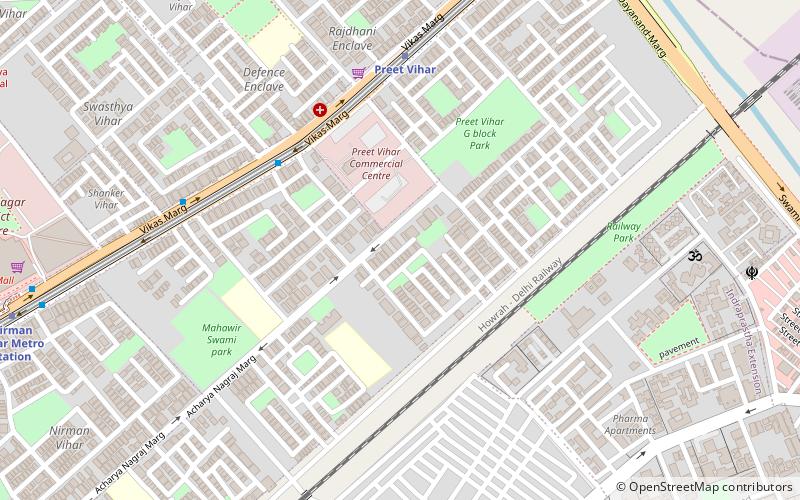
Map
Facts and practical information
Preet Vihar is a posh residential colony and one of the 3 administrative subdivision of the East Delhi district in India. ()
Coordinates: 28°38'16"N, 77°17'43"E
Address
East Delhi (Preet Vihar)Delhi
ContactAdd
Social media
Add
Getting there by public transportation
Public transportation stops near this location
- Metro
- Bus
- Train
 Metro
Metro
- Calculate routePreet Vihar 7 min walk
- Calculate routeNirman Vihar 14 min walk
- Calculate routeKarkarduma 26 min walk
- Calculate routeIP Extension 27 min walk
- Calculate routeSwasthya Vihar 8 min walk
- Calculate routeNew Rajdhani Enclave 9 min walk
- Calculate routeKarkardooma Crossing 10 min walk
- Calculate routeChander Vihar 11 min walk
- Calculate routeMandawli Chandra Vihar 18 min walk
Maps Metro
Metro
MetroDay trips


Frequently Asked Questions (FAQ)
How to get to Preet Vihar by public transport?
The nearest stations to Preet Vihar:
Metro
Bus
Train
Metro
- Preet Vihar • Lines: Blue Line (7 min walk)
- Nirman Vihar • Lines: Blue Line (14 min walk)
Bus
- Swasthya Vihar • Lines: (-) Oms, 390, 418A, 469, 473, 623, 73 (8 min walk)
- New Rajdhani Enclave • Lines: 390 (9 min walk)
Train
- Mandawli Chandra Vihar (18 min walk)