Ashram Road, Ahmedabad
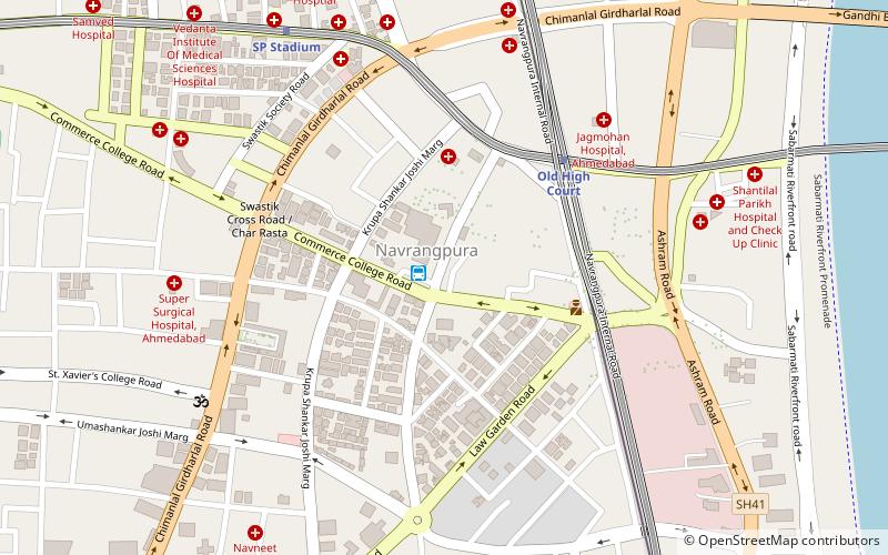
Map
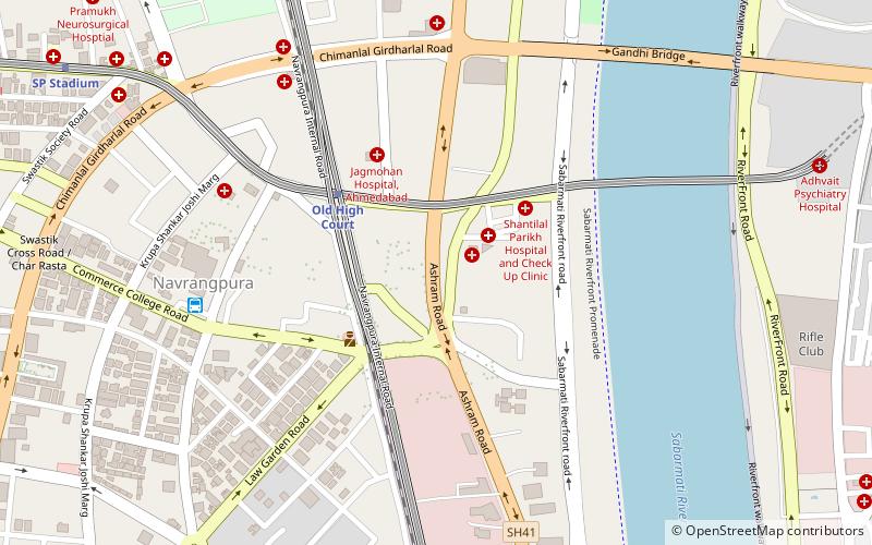
Map

Facts and practical information
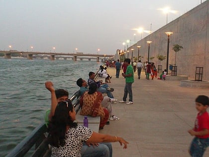
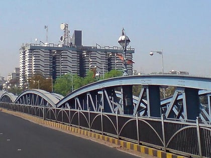
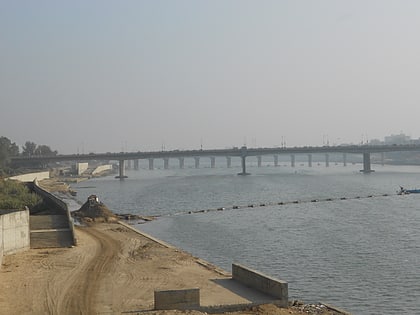
The Ashram Road is one of the major roads in the city of Ahmedabad in India. A major portion of the road runs parallel to the Sabarmati. The road is a major financial hub of the city with the offices of the Reserve Bank of India and the Income Tax department located on the road. The road is also a tourist destination with the Sabarmati Ashram and the City Gold multiplex located on the road. Several of the best showrooms for sarees and traditional clothing like Asopalav and Anupam are situated on this road. ()
Coordinates: 23°2'10"N, 72°34'8"E
Address
Ahmedabad
ContactAdd
Social media
Add
Day trips
Ashram Road – popular in the area (distance from the attraction)
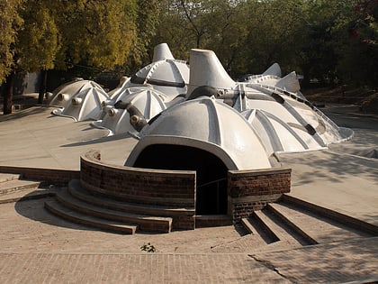
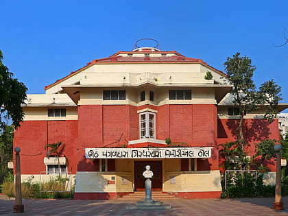
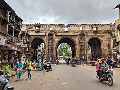
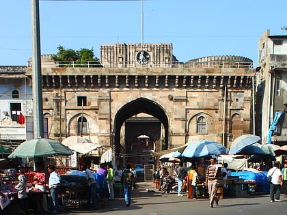
Nearby attractions include: Amdavad ni Gufa, Ahmedabad Town Hall, Teen Darwaza, Bhadra Fort.
Frequently Asked Questions (FAQ)
Which popular attractions are close to Ashram Road?
Nearby attractions include Sabarmati Riverfront, Ahmedabad (7 min walk), Navarangpura, Ahmedabad (7 min walk), Mithakali, Ahmedabad (12 min walk), Usmanpura, Ahmedabad (16 min walk).
How to get to Ashram Road by public transport?
The nearest stations to Ashram Road:
Bus
Train
Bus
- Navrangpura (8 min walk)
- Lal Darwaja AMTS Bus Stop (26 min walk)
Train
- Gandhigram (17 min walk)

