Lalbaug, Vadodara

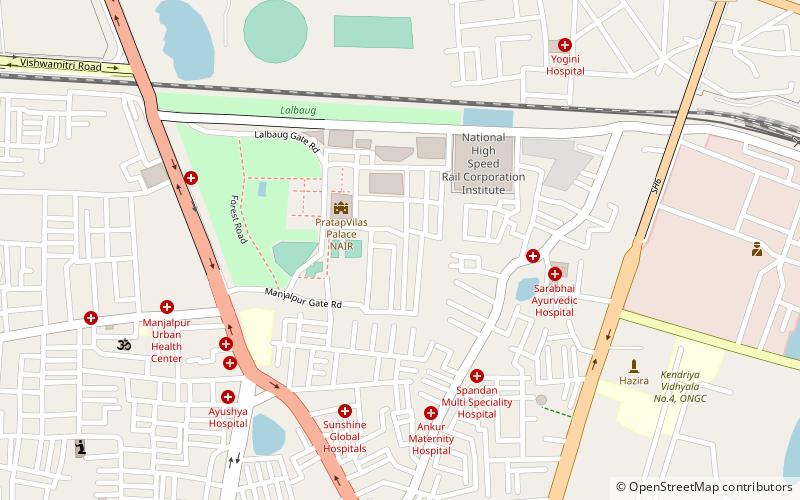
Map
Facts and practical information
Lalbaug or is a neighbourhood in South Mumbai in Mumbai, the capital of Maharashtra an Indian state. It was once part of the neighbourhood called Girangaon - Mumbai's mill district that is now undergoing gentrification due to the shifting of textiles mills to Gujarat.It is Well Connected Via railways which include Curry Road station of Central Railway, Lower Parel station Of Western Railway & New Lower Parel Monorail station. ()
Coordinates: 22°16'47"N, 73°12'5"E
Address
Vadodara
ContactAdd
Social media
Add
Day trips
Lalbaug – popular in the area (distance from the attraction)
Nearby attractions include: Khanderao Market, Maharaja Fateh Singh Museum, Lakshmi Vilas Palace, Hazira Maqbara.
Frequently Asked Questions (FAQ)
Which popular attractions are close to Lalbaug?
Nearby attractions include National Academy of Indian Railways, Vadodara (3 min walk), Hazira Maqbara, Vadodara (10 min walk).
How to get to Lalbaug by public transport?
The nearest stations to Lalbaug:
Train
Train
- Pratapnagar (16 min walk)


