Choolaimedu, Ambattur
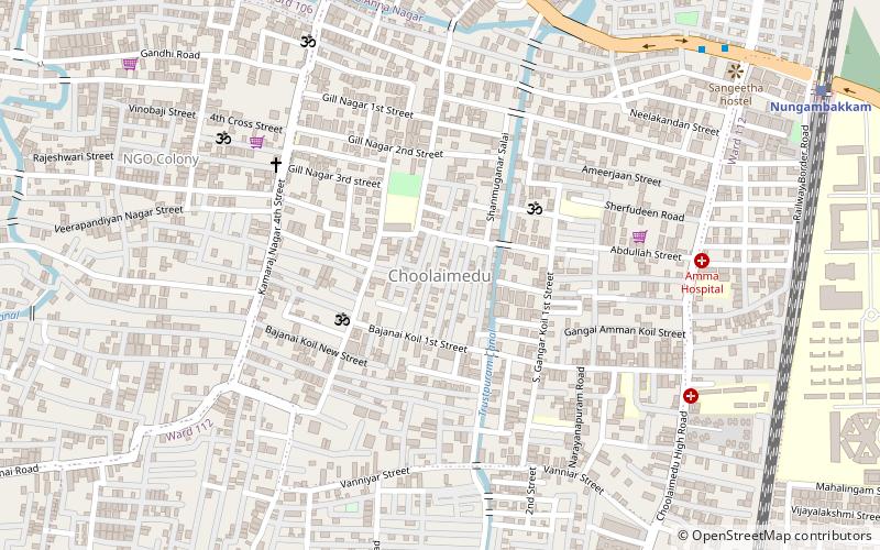
Map
Facts and practical information
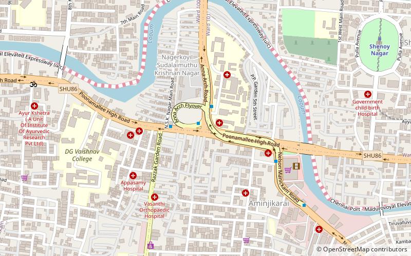
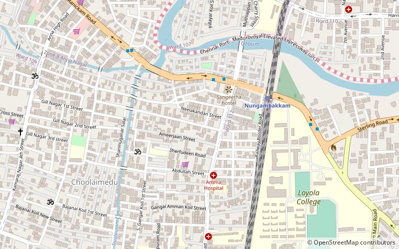
Choolaimedu is a large residential and commercial locality in Chennai, Tamilnadu, India. It borders Kodambakkam, Vadapalani, M.M.D.A. Colony, Aminjikarai, Mahalingapuram and Nungambakkam. Previously a part of Puliyur village, Kodambakkam, Choolaimedu has now become a hub for commercial interests and connects two of the busiest routes in Chennai, namely Arcot Road and Nelson Manickam Road. ()
Coordinates: 13°3'44"N, 80°13'31"E
Day trips
Choolaimedu – popular in the area (distance from the attraction)
Nearby attractions include: Ampa Skywalk, Valluvar Kottam, Anna Nagar Arch, Vadapalani Andavar Temple.
Frequently Asked Questions (FAQ)
Which popular attractions are close to Choolaimedu?
Nearby attractions include Trustpuram, Ambattur (7 min walk), Masjid e Mahmood, Ambattur (9 min walk), Nungambakkam, Chennai (14 min walk), Kodambakkam Bridge, Chennai (19 min walk).
How to get to Choolaimedu by public transport?
The nearest stations to Choolaimedu:
Bus
Train
Metro
Bus
- Mehtha Nagar • Lines: 147C (11 min walk)
- Choolaimedu • Lines: 147C (12 min walk)
Train
- Nungambakkam (15 min walk)
- Kodambakkam (21 min walk)
Metro
- Arumbakkam • Lines: 2 (24 min walk)
- Pachaiyappa's College • Lines: 2 (27 min walk)

