New Alipore, Kolkata
Map
Gallery
Facts and practical information
Geography
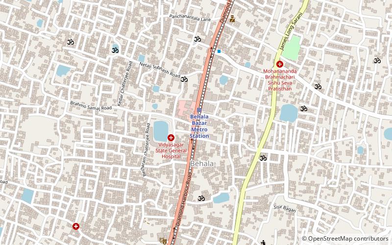
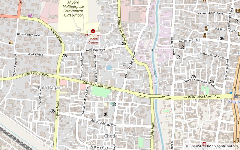
New Alipore is bordered on the north by the Budge Budge section of the Kolkata Suburban Railway between Majerhat and Tollygunge stations. It is bounded by B.L. Saha Road (Chetla) to the east, Diamond Harbour Road to the west and by Behala to the south. ()
Coordinates: 22°30'36"N, 88°19'12"E
Address
Garden Reach - South Port - West Port - TaratalaKolkata
ContactAdd
Social media
Add
Day trips
New Alipore – popular in the area (distance from the attraction)
Nearby attractions include: State Archaeological Museum, Garden Reach Flyover, Parnasree Pally, Taratala.
Frequently Asked Questions (FAQ)
Which popular attractions are close to New Alipore?
Nearby attractions include Taratala, Kolkata (11 min walk), State Archaeological Museum, Kolkata (20 min walk), Parnasree Pally, Kolkata (23 min walk).
How to get to New Alipore by public transport?
The nearest stations to New Alipore:
Train
Bus
Train
- Majherhat (17 min walk)
- Behala Bazar Metro Station (19 min walk)
Bus
- Parnasree Bus Stand (22 min walk)

