Patamata, Vijayawada

Map
Facts and practical information
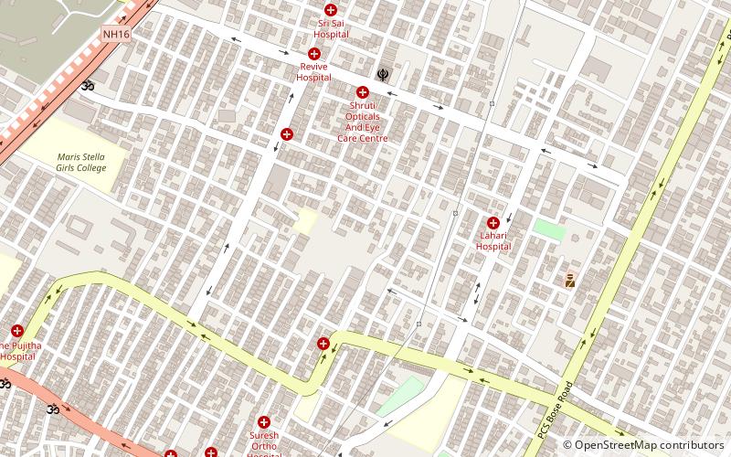
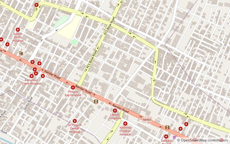
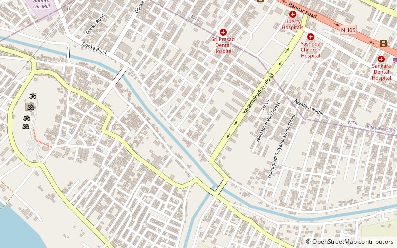
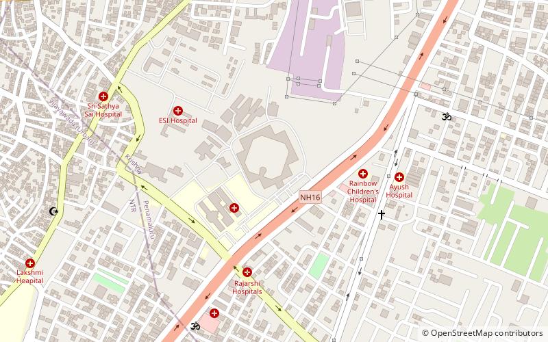
Patamata is an affluent suburban in centre part of Vijayawada, Andhrapradesh. It is one of the most expensive commercial and residential locations in Vijayawada in the Indian state of Andhra Pradesh The area contains Shopping malls and jewellery shops. It has become a major transit point for traffic because it lies between Benz circle and Auto Nagar. It falls under the 12th ward of Vijayawada Municipal Corporation and the present corporator is Sambaiah. It is an unreserved ward for women candidates. ()
Coordinates: 16°30'0"N, 80°39'60"E
Address
Vijayawada
ContactAdd
Social media
Add
Day trips
Patamata – popular in the area (distance from the attraction)
Nearby attractions include: Jawaharlal Nehru Auto Nagar Industrial Estate, Trendset Mall, Prasadampadu, Yanamalakuduru.
Frequently Asked Questions (FAQ)
Which popular attractions are close to Patamata?
Nearby attractions include Jawaharlal Nehru Auto Nagar Industrial Estate, Vijayawada (16 min walk), Andhra Loyola College, Vijayawada (20 min walk), Benz Circle, Vijayawada (22 min walk).


