Prasadampadu, Vijayawada
Map

Map

Facts and practical information
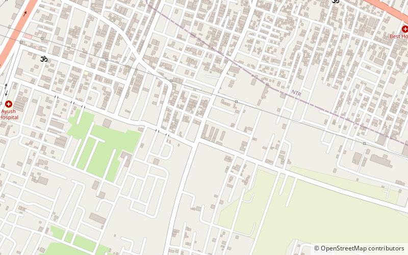
Prasadampadu is a part of Vijayawada in Krishna district of the Indian state of Andhra Pradesh. It is located in Vijayawada mandal of Vijayawada revenue division. As per the G.O. No. M.S.104, Municipal Administration and Urban Development Department, it became a part of Vijayawada metropolitan area. ()
Area: 0.93 mi²Coordinates: 16°30'60"N, 80°41'0"E
Address
Vijayawada
ContactAdd
Social media
Add
Day trips
Prasadampadu – popular in the area (distance from the attraction)
Nearby attractions include: Patamata, Enikepadu, Ramavarappadu Junction, Dr. NTR University of Health Sciences.
Frequently Asked Questions (FAQ)
Which popular attractions are close to Prasadampadu?
Nearby attractions include Ramavarappadu Junction, Vijayawada (17 min walk), Siddhartha Medical College, Vijayawada (21 min walk), Dr. NTR University of Health Sciences, Vijayawada (24 min walk).
How to get to Prasadampadu by public transport?
The nearest stations to Prasadampadu:
Train
Train
- Ramavarappadu (18 min walk)


