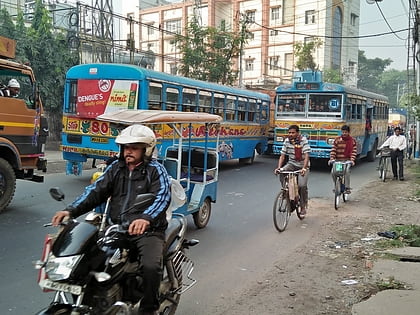
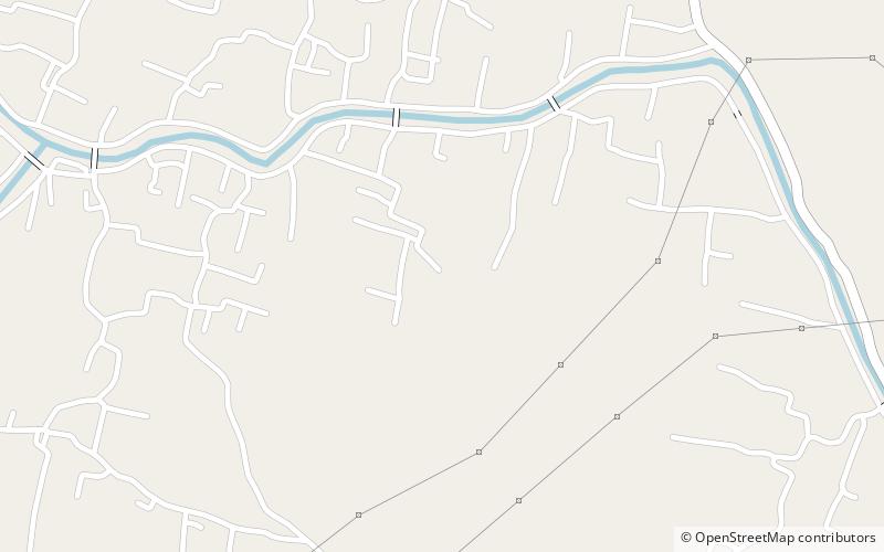
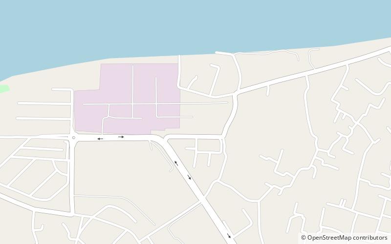
Calcutta Riverside, Kolkata
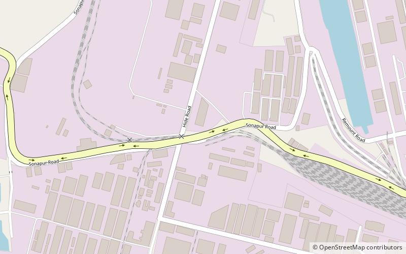
Map
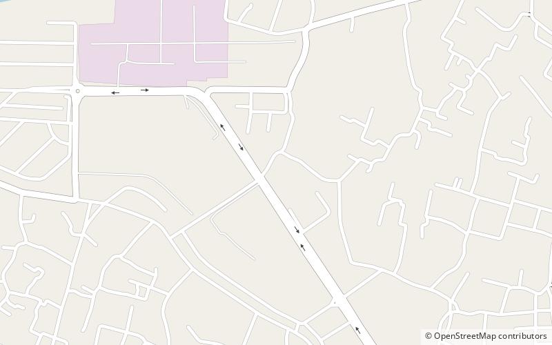
Map

Facts and practical information
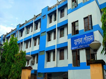
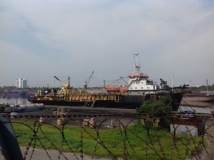
Calcutta Riverside is a satellite township development across 106 hectares being developed by Riverbank Developers Pvt. Ltd. in joint venture with Bata India Limited planned on the banks of the Hooghly River in Greater Kolkata. The planned township falls under Maheshtala Municipality in South 24 Parganas district, India. Riverbank Holdings the operating company has finalised a funding of Rs 117.60 crore for the IT SEZ portion of this project on the outskirts of Kolkata. ()
Coordinates: 22°30'37"N, 88°13'26"E
Address
Kolkata
ContactAdd
Social media
Add
Day trips
Calcutta Riverside – popular in the area (distance from the attraction)
Nearby attractions include: Andul rajbari, The Great Banyan, Maheshtala, Budge Budge.
Frequently Asked Questions (FAQ)
Which popular attractions are close to Calcutta Riverside?
Nearby attractions include Batanagar, Kolkata (6 min walk), Nungi, Kolkata (24 min walk).
How to get to Calcutta Riverside by public transport?
The nearest stations to Calcutta Riverside:
Train
Train
- Nangi (18 min walk)


