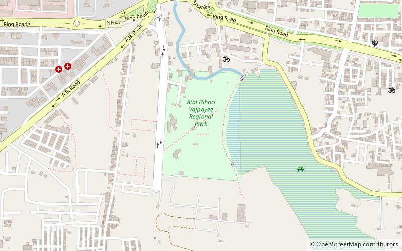
Atal Bihari Vajpayee Regional Park, Indore
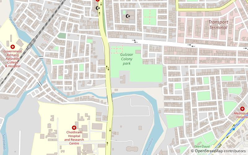
Map
Facts and practical information
Regional Park Indore is a park located in Indore, Madhya Pradesh. The park was developed and created by Indore Development Authority and was opened in 2003. Park is located on 80 acres of land with 42 acres for lake and other 38 for other attractions. Park is named after former Prime Minister of India Atal Bihari Vajpayee. There is also a canal, which covers the whole park starting from one point of the pond and ending at the other part. The bridges over canal with the mist fountain make one feel a special type of peace, mentally as well as physically. ()
Elevation: 1844 ft a.s.l.Coordinates: 22°40'40"N, 75°51'26"E
Address
Pipliapala LakeIndore
ContactAdd
Social media
Add
Getting there by public transportation
Public transportation stops near this location
- Train
 Train
Train
- Calculate routeLokmanya Nagar 29 min walk
Day trips


Frequently Asked Questions (FAQ)
How to get to Atal Bihari Vajpayee Regional Park by public transport?
The nearest stations to Atal Bihari Vajpayee Regional Park:
Train
Train
- Lokmanya Nagar (29 min walk)