Adavivaram, Visakhapatnam

Gallery (1)
Map
Map
Facts and practical information
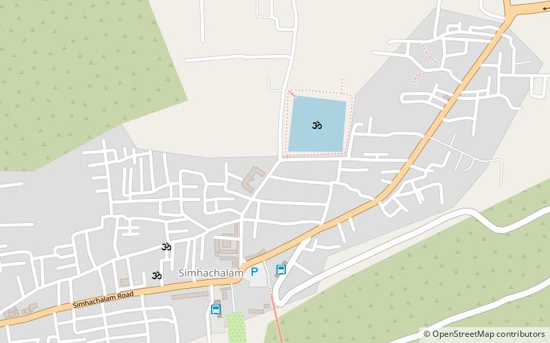
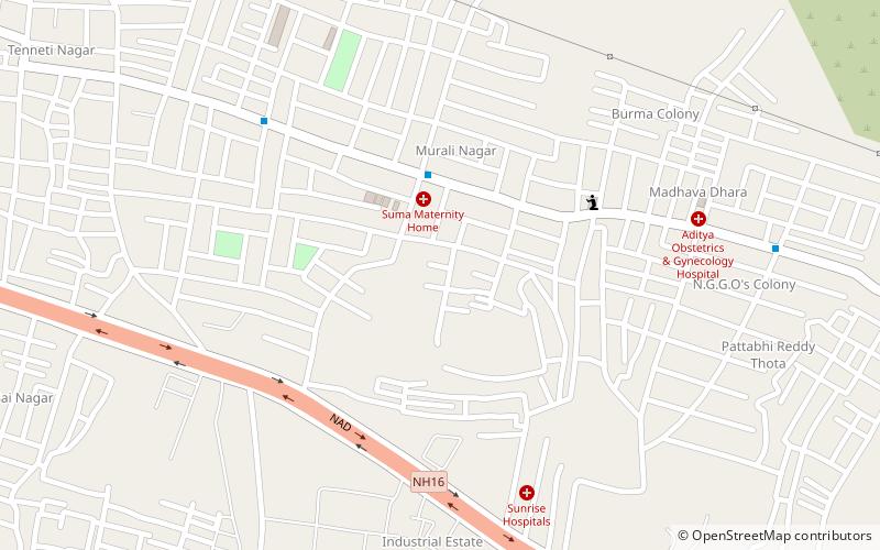
Adavivaram is a neighborhood situated on the western part of Visakhapatnam City, India. The area, which falls under the local administrative limits of Greater Visakhapatnam Municipal Corporation, is about 15 km from the Dwaraka Nagar which is city centre. Adavivaram is located at the foothill of Simhachalam temple and is served by the Visakhapatnam Bus Rapid Transit System. ()
Coordinates: 17°46'32"N, 83°14'43"E
Address
Visakhapatnam
ContactAdd
Social media
Add
Getting there by public transportation
Public transportation stops near this location
- Bus
 Bus
Bus
- Calculate routeSimhachalam Hill Bus Stop 6 min walk
- Calculate routeSimhachalam bus stop 8 min walk
- Calculate routeSimhachalam 8 min walk
Day trips


Frequently Asked Questions (FAQ)
How to get to Adavivaram by public transport?
The nearest stations to Adavivaram:
Bus
Bus
- Simhachalam Hill Bus Stop (6 min walk)
- Simhachalam bus stop (8 min walk)