Kakani Nagar, Visakhapatnam
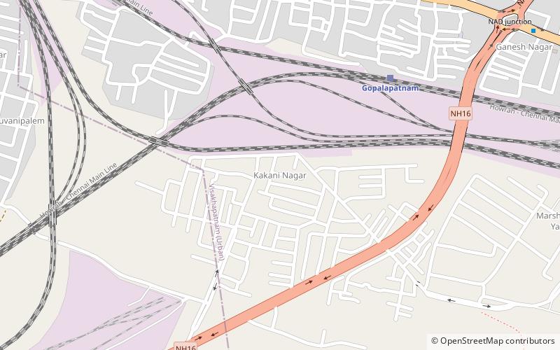
Map
Facts and practical information
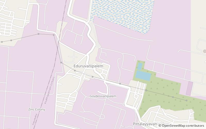
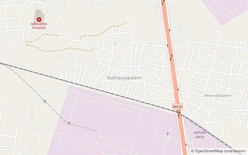
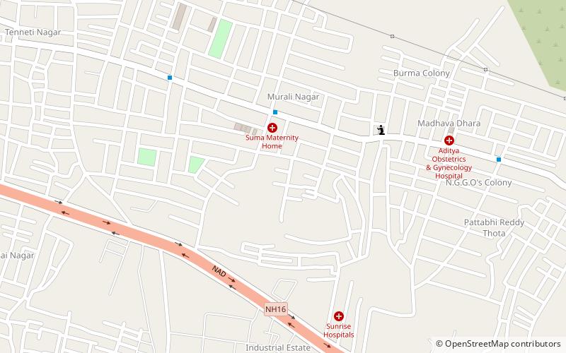
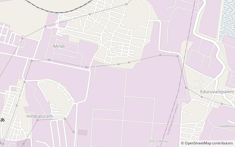
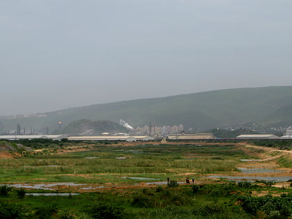
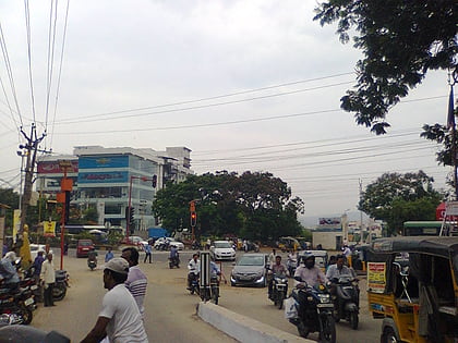
Kakani Nagar is a neighborhood situated on the Visakhapatnam City, India. The area, which falls under the local administrative limits of Greater Visakhapatnam Municipal Corporation, is about 3 km from the Visakhapatnam Airport. Kakani Nagar is a well residential colony its well connected with Gajuwaka and Maddilapalem ()
Coordinates: 17°44'18"N, 83°13'42"E
Address
Visakhapatnam
ContactAdd
Social media
Add
Day trips
Kakani Nagar – popular in the area (distance from the attraction)
Nearby attractions include: Varaha Lakshmi Narasimha temple, Simhachalam Hill Range, Mulagada, Nathayyapalem.
Frequently Asked Questions (FAQ)
How to get to Kakani Nagar by public transport?
The nearest stations to Kakani Nagar:
Train
Train
- Gopalapatnam (8 min walk)
- Simhachalam (18 min walk)


