Pathuriaghata, Kolkata
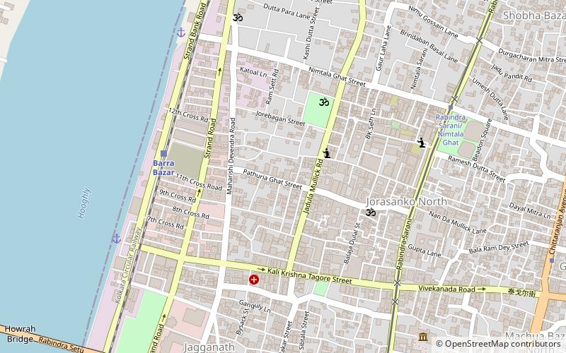
Map
Gallery
Facts and practical information
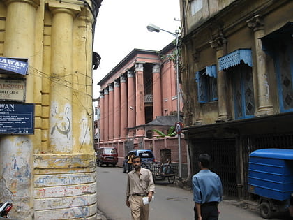
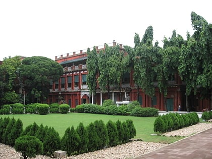
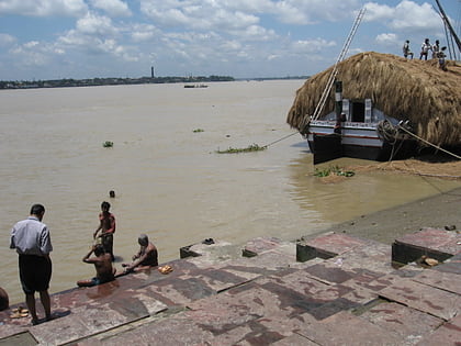
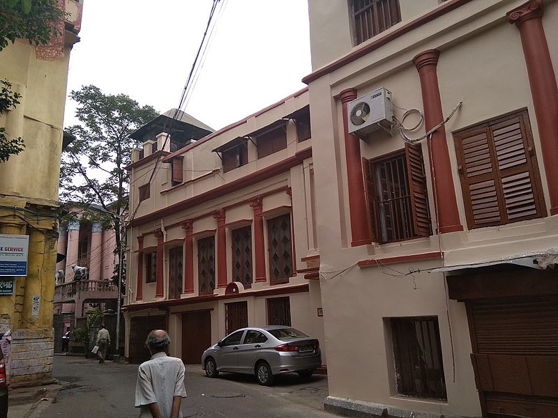
Pathuriaghata is a neighbourhood of North Kolkata in Kolkata district, in the Indian state of West Bengal. It is one of the oldest residential areas in what was Sutanuti. Once the abode of the Bengali rich, the neighbourhood and its surrounding areas are now dominated by Marwaris. Even in the 21st century the area is replete with colonnaded mansions. ()
Coordinates: 22°35'22"N, 88°21'17"E
Address
Jorabagan - North PortKolkata
ContactAdd
Social media
Add
Day trips
Pathuriaghata – popular in the area (distance from the attraction)
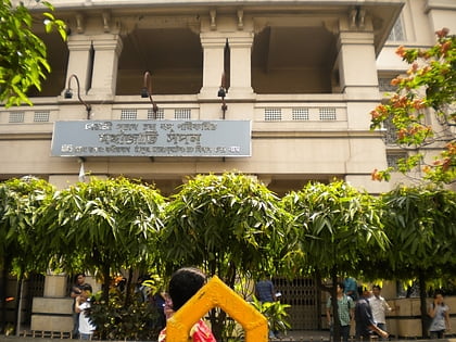
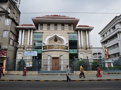
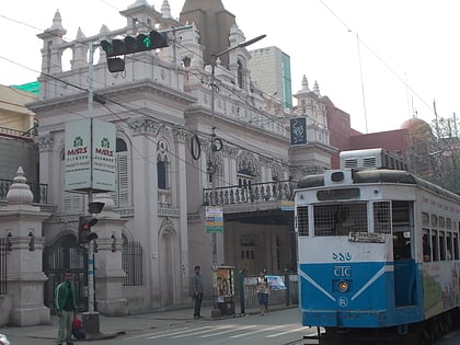
Nearby attractions include: Howrah Bridge, Nakhoda Mosque, Mahajati Sadan, Holy Rosary Cathedral.
Frequently Asked Questions (FAQ)
Which popular attractions are close to Pathuriaghata?
Nearby attractions include Jorabagan, Kolkata (3 min walk), Posta, Kolkata (6 min walk), Jorasanko Thakur Bari, Kolkata (11 min walk), Jorasanko, Kolkata (11 min walk).
How to get to Pathuriaghata by public transport?
The nearest stations to Pathuriaghata:
Train
Metro
Tram
Bus
Train
- Barabazar (6 min walk)
- Barra Bazar (7 min walk)
Metro
- Girish Park • Lines: 1 (14 min walk)
- Mahatma Gandhi Road • Lines: 1 (19 min walk)
Tram
- Howrah Bridge (16 min walk)
- Shyambazar (35 min walk)
Bus
- Howrah Bus Station (21 min walk)
- djdndn (23 min walk)
