Sahar, Mumbai
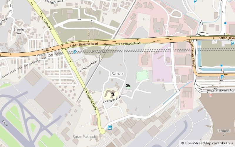
Map
Facts and practical information
Sahar Village lies in the Vile Parle East suburb of Mumbai. It is among the oldest settlements of East Indians on Salsette Island. The village had a station on the Salsette–Trombay Railway that was dismantled after the rail line closed in 1934. ()
Coordinates: 19°6'2"N, 72°52'0"E
Address
Vile Parle (Airport)Mumbai
ContactAdd
Social media
Add
Day trips
Sahar – popular in the area (distance from the attraction)
Nearby attractions include: Phoenix Marketcity, Mahakali Caves, Prithvi Theatre, Kurla Court.
Frequently Asked Questions (FAQ)
How to get to Sahar by public transport?
The nearest stations to Sahar:
Bus
Metro
Bus
- Sahar Cargo Complex (7 min walk)
Metro
- Chakala - J.B. Nagar • Lines: 1 (21 min walk)
- Airport Road • Lines: 1 (21 min walk)


