Bharat Nagar, Hyderabad
Map

Map

Facts and practical information
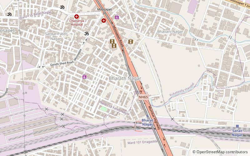
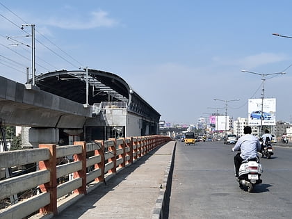
Bharat Nagar is a neighbourhood in the northwestern part of the city of Hyderabad, India. Prior to being incorporated into the Greater Hyderabad Municipal Corporation, it was part of the Kukatpally municipality. At present it is located in Circle XIV of the GHMC, on Sanjeeva Reddy Nagar Main Road at the flyover, south of Moosapet. It is in the eastern part of the Motinagar election ward. It is located by the Pune Hyderabad Machilipatnam highway NH 65. ()
Coordinates: 17°27'55"N, 78°25'44"E
Address
Kukatpally (Mothinagar)Hyderabad
ContactAdd
Social media
Add
Day trips
Bharat Nagar – popular in the area (distance from the attraction)
Nearby attractions include: Sanathnagar, Erragadda, Allwyn Colony, Moosapet.
Frequently Asked Questions (FAQ)
How to get to Bharat Nagar by public transport?
The nearest stations to Bharat Nagar:
Metro
Train
Bus
Metro
- Bharat Nagar • Lines: Red Line (6 min walk)
- Moosapet • Lines: Red Line (13 min walk)
Train
- Bharath Nagar (6 min walk)
- Sanat Nagar (15 min walk)
Bus
- Prashanthi nagar bus stop (15 min walk)
- Prashanth nagar bus stop (18 min walk)


