Prabhadevi, Mumbai

Map
Facts and practical information
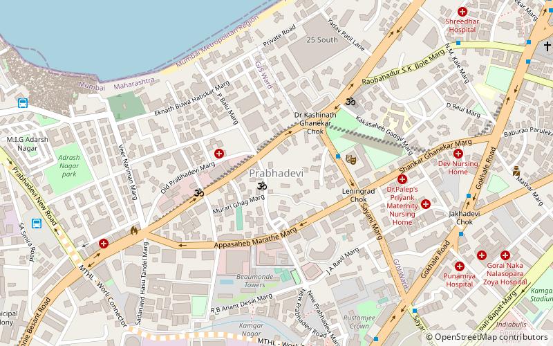
Prabhadevi is a small up-scale southern neighbourhood of Mumbai, situated between Dadar to the north, Worli to the south and the Arabian Sea to the west. The area derives its name from the 300 year old Prabhavati temple located in the locality. Prabhadevi starts at Sayani Road Junction and ends at Babasaheb Worlikar Chowk. ()
Coordinates: 19°0'54"N, 72°49'41"E
Address
Worli (Prabha Devi)Mumbai
ContactAdd
Social media
Add
Day trips
Prabhadevi – popular in the area (distance from the attraction)
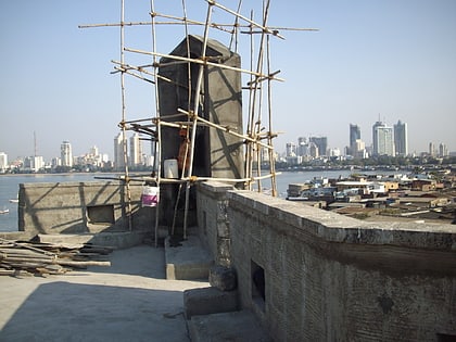
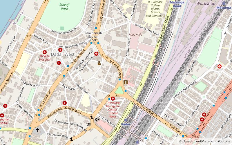
Nearby attractions include: Bandra–Worli Sea Link, Shivaji Park, Portuguese Church, Worli Fort.
Frequently Asked Questions (FAQ)
Which popular attractions are close to Prabhadevi?
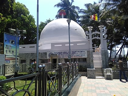
Nearby attractions include Portuguese Church, Mumbai (16 min walk), Chaitya Bhoomi, Mumbai (21 min walk), World One, Mumbai (23 min walk).
How to get to Prabhadevi by public transport?
The nearest stations to Prabhadevi:
Bus
Train
Bus
- Worli Depot (13 min walk)
- Worli Village (14 min walk)
Train
- Prabhadevi (19 min walk)
- Parel (19 min walk)


